38
ERDC/CRREL TR-02-14
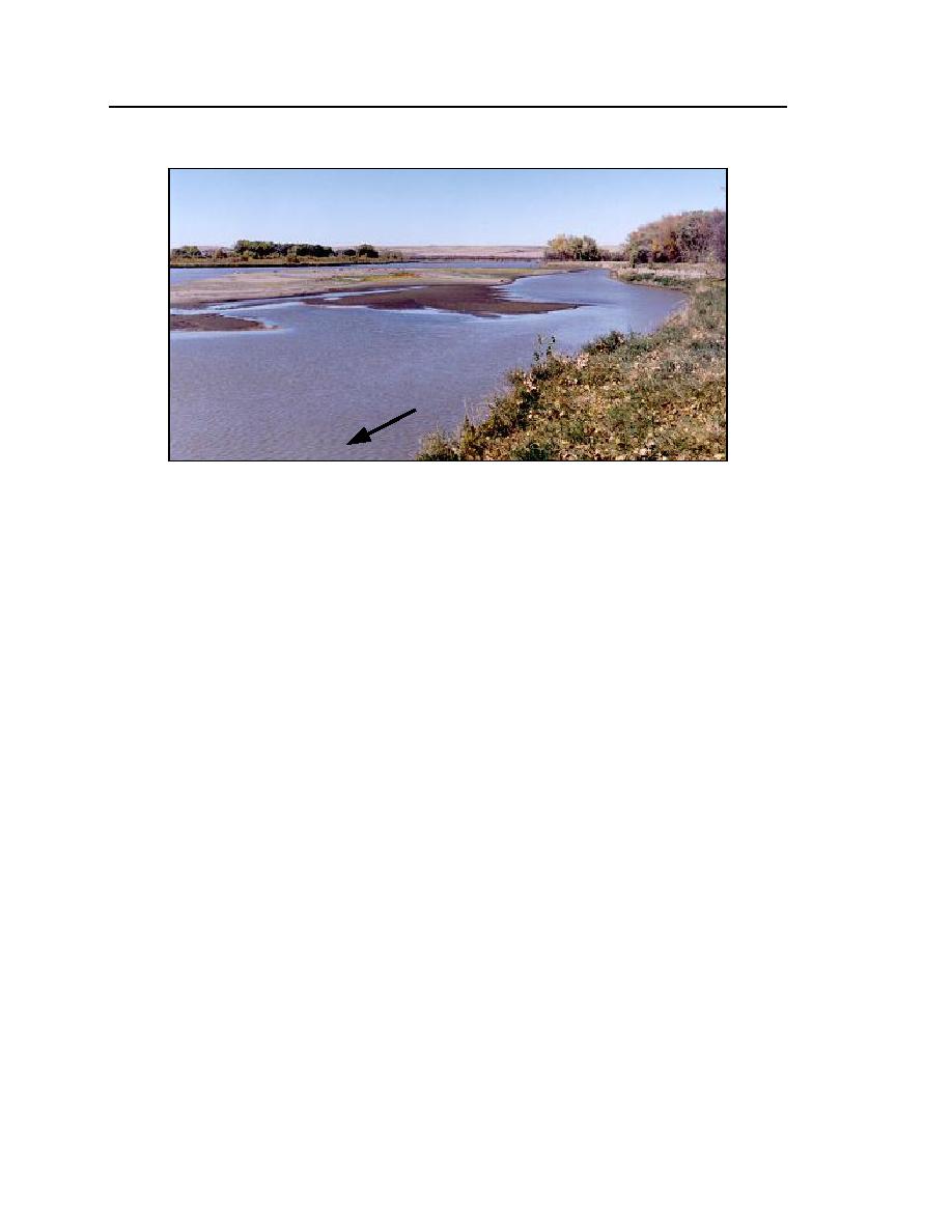
Figure 22. RM 1646, Mattelin site.
Mattelin site, RM 16451646
This site comprises a comparatively straight segment of river with two sub-
channels around several medial bars (Fig. 22). The subchannels converge at the
downstream end of a large medial bar, then divide into two subchannels a short
distance downstream. The north bank of the river is about 1015 ft high and has
been subject to extensive erosion. Four cross sections were selected for monitor-
ing. The general locations and orientations of the cross sections are indicated in
Figure 23, an aerial photograph taken in 1983 (USACE-Omaha 1983).
The multiple subchannels make this site similar to the Culbertson site. Like
the Culbertson site, the main thalweg at this site apparently switches from one
subchannel to the other, causing sedimentation of an irrigation pump site and
bank erosion. This site was selected because monitoring would help determine
how ice cover formation and presence may cause the flow capacity of one sub-
channel to reduce relative to that of the other subchannel. Additionally, the site
would yield further information on how ice affects bank erosion.
Whitmer site, RM 1687
This site was observed, but no bathymetry measurements were made. The
morphology of the site is similar to the Mattelin and Culbertson sites. As with
those sites, an irrigation pump location is being affected by sedimentation (Fig.
24).


 Previous Page
