RIVER ICE INFLUENCES ON FORT PECK REACH, MISSOURI RIVER
37
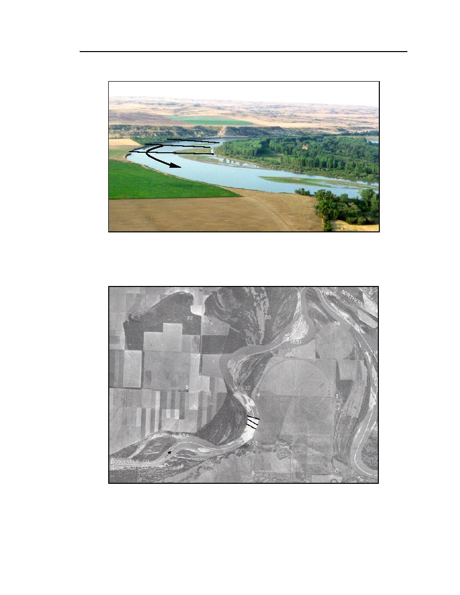
Figure 20. Aerial view of RM 16311632, Vournas site. The arrow shows the
direction of flow, and the lines show the approximate locations of the surveys.
(From CRM 1996.)
Figure 21. Survey cross sections near RM 16311632, Vournas site. (From
USACE-Omaha 1996.)


 Previous Page
