RIVER ICE INFLUENCES ON FORT PECK REACH, MISSOURI RIVER
35
Tveit-Johnson site, RM 16231624
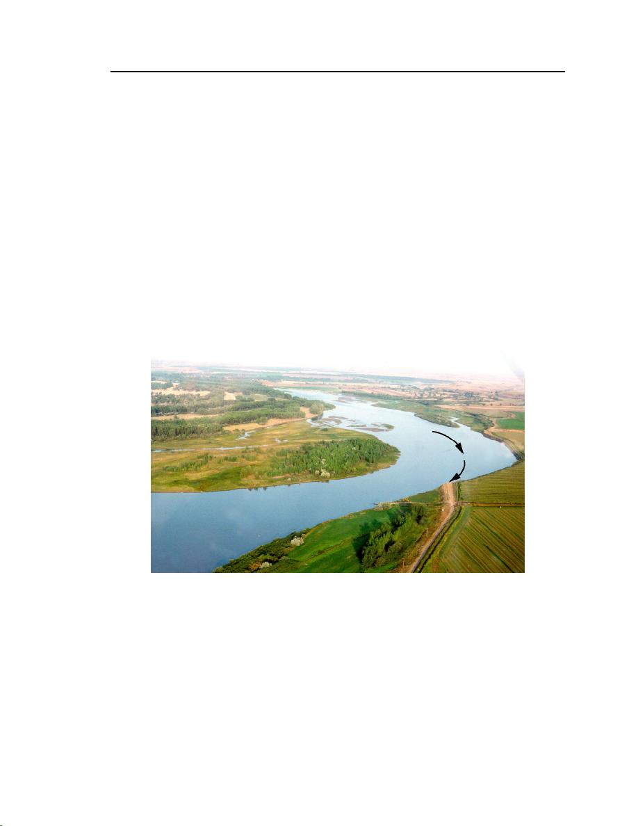
The river at this site narrows to a single channel near the apex of a gradual
bend flanked by a high bank (approximately 15 ft high) along its north side.
Upstream, the river flows in two subchannels around medial bars. Figure 18
shows how the flow impinges against the steep north bank of the river. The four
cross sections selected for monitoring are indicated in Figure 19, an aerial view
taken in 1983 (USACE-Omaha 1983).
At RM 1623.5 the channel's thalweg impinges along the base of the chan-
nel's north bank and actively erodes a 3000-ft-long portion of the bank. The
exact rates of bank recession have not been determined, but the erosion is causing
significant loss of prime irrigated cropland. As the bank has receded, the thalweg
has shifted accordingly. In addition, the shifting thalweg has caused a sediment
deposition problem at a downstream location where a small irrigation pump
draws water for the croplands.


 Previous Page
