34
ERDC/CRREL TR-02-14
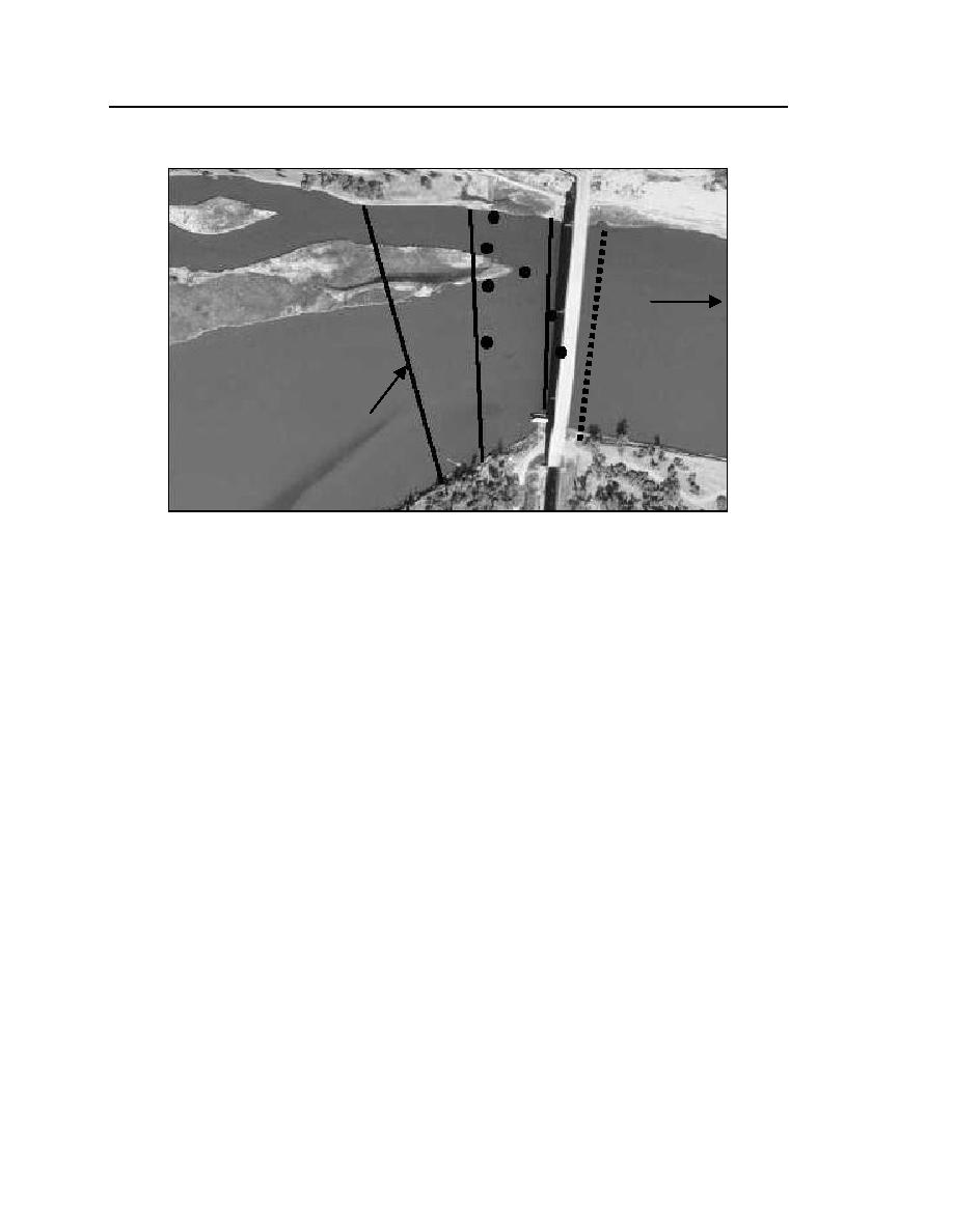
North Channel
Flow
South Channel
Survey
Alignments
Figure 17. Survey cross sections near RM 16201621, Culbertson site. (From
USACE-Omaha 1996.)
by the bluff at the downstream end of the reach. The subchannels align around
medial bars formed of alluvial sediment deposited by the river as its cross-
sectional area of flow widens. Three cross sections were selected for monitoring.
The general locations and orientations of the survey lines are indicated in Figure
17. A fourth cross section, under the Route 16 Bridge, was added for the ice
surveys to document the influence of the bridge piers.
Of particular interest in the monitoring of this site was the likely influence of
ice cover formation on the alignment of the main thalweg. Aerial photographs
and map overlays (CRM 1996) indicate that the alignment has shifted several
times over the past few decades. Shifting of a main thalweg is not uncommon for
sinuous-braided channels, but anecdotal accounts suggest that ice cover forma-
tion may play a role at this site. Over time the main thalweg through the site has
shifted from one subchannel to the other. In 1996, as depicted in Figure 3, the
main thalweg at RM 1620 lay along a central subchannel. Flow in a subchannel
to the north of the central subchannel had become significantly shallower
because of deposition of sediment. Unfortunately the municipal water supply for
the town of Culbertson draws water from an intake adjoining that subchannel,
and sediment deposition has impaired the operation of the water intake.


 Previous Page
