RIVER ICE INFLUENCES ON FORT PECK REACH, MISSOURI RIVER
41
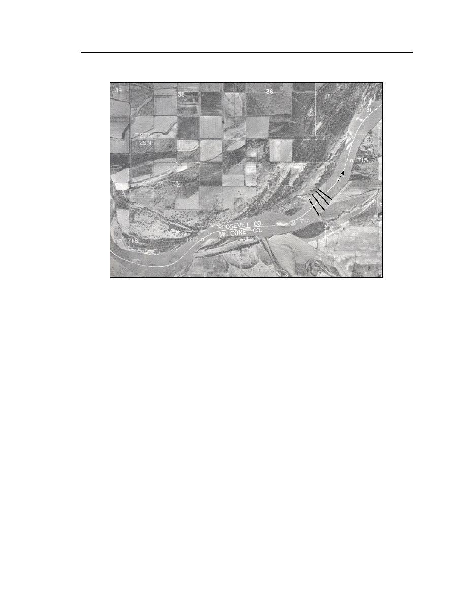
Figure 26. Survey cross sections near RM 17151716, Pipal site. (From
USACE-Omaha 1983.)
This site was selected for monitoring because it would yield insights into ice
cover influences on flow distribution and loose-bed bathymetry in a channel
bend. As with the Tveit-Johnson and Vournas sites, the Pipal site would be of use
in assessing whether and how an ice cover may shift the channel thalweg. Two
additional purposes motivated monitoring of this site: the site was well suited for
examining how river ice affects bank erosion, and it provided an opportunity to
observe how several forms of bank stabilization structures perform in ice-covered
flow.
Summary of measurements and observations
The following survey measurements were periodically taken at all sites:
Channel cross-section bathymetry;
Ice cover thickness; and
Vertical distribution of streamwise and transverse components of flow
velocity.
Eisenbraun and Associates conducted the open water bathometric survey
prior to ice formation and following breakup using a differential GPS system.


 Previous Page
