36
ERDC/CRREL TR-02-14
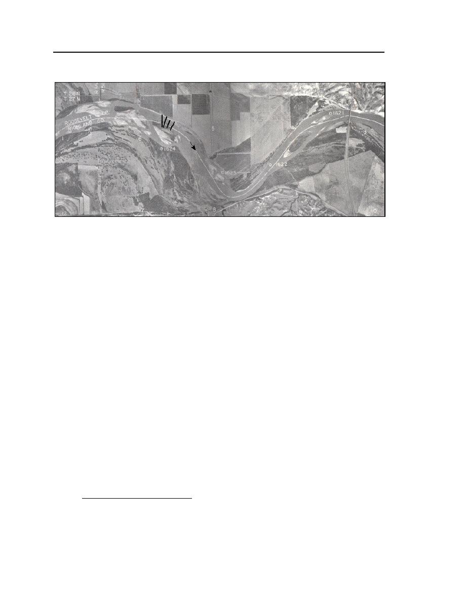
Figure 19. Survey cross sections near RM 16231624, Tveit-Johnson site. (From USACE-
Omaha 1983.)
Vournas site, RM 16311632
The site lies along the upstream flank of a large, irregular loop of the Mis-
souri River, with the river flowing in a single, curved channel constrained by an
outer bank that is about 1015 ft high (Fig. 20). Immediately upstream of the site
the river is constrained by a bluff. Downstream of the site the channel widens,
developing an irregular bend that has a secondary subchannel. The outer bank
constraining the channel is being severely eroded by flow, and the bank erosion
is encroaching on the operation of a rotating irrigation pivot and cropland ser-
viced by the pivot. Three cross sections were selected for monitoring (Fig. 21).
This site was selected for monitoring because it likely would be useful for
determining how an ice cover influences flow distribution and loose-bed bathym-
etry in a channel bend. In particular, survey information from the site would be of
use in assessing whether and how an ice cover may shift the channel thalweg. A
further ice process of interest at the Vournas site is the occasional formation of an
ice jam. The frequency of jamming is not known precisely, because jam occur-
rence has not been recorded routinely. However, anecdotal accounts indicate that
the ice jams here approximately every ten years. When a jam develops, it backs
up flow and causes it to spill overland until it enters the river at the downstream
side of the meander loop. As the neck of the meander loop is relatively wide and
overland flow velocities small, jam-induced flooding apparently deposits sedi-
*
ment on the flooded land.
* Personal communication with Dick Iverson, Director, Culbertson Office, U.S. National
Resources Conservation Service (NRCS).


 Previous Page
