30
ERDC/CRREL TR-02-14
RM 16461647, a multi-thalweg channel (Mattelin site) (three cross
sections between 1646.72 and 1646.9); and
RM 17151716, a bend, where the upstream half has bank protection
(Pipal site) (three cross sections between 1715.53 and 1715.74).
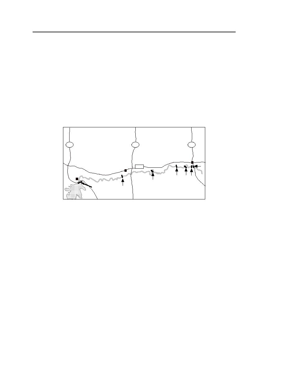
The site locations are indicated in Figure 15. Each site is approximately 1
mile long, though the area actually surveyed was about 0.25 mile in length with
survey lines approximately 300 feet apart. The monitoring of ice-related proc-
esses at these sites included overall descriptions of ice formation, extent of cov-
erage, and breakup on the river. Several other sites were observed, but not sur-
veyed, during the winter of 1998-99 (e.g., RM 1687, the Whitmer site).
24
13
16
Culbertson
1
RT 2
Wolf Point
P t.
F
eck
Missouri River
4
3 2
5
6
Ft. Peck Dam
Figure 15. Locations of the survey sites.
1. Culbertson, RM 1621.
5. Whitmer, RM 1687.
2. Tveit-Johnson, RM 1624.
6. Pipal, RM 1716.
3. Vournas, RM 1631.
7. Fort Peck Dam, RM 1771.
4. Mattelin, RM 1646.
The objective of the investigation was to assess the influence an ice cover
had on shifting of the main thalweg of the river, bank erosion, pump site sedi-
mentation, and potential cutoff of meander loops by ice jams. Measurements that
were made to document these concerns are listed in Table 1, along with the sites
where the process was suspected to be occurring. Impaired riparian vegetation
and river habitat are also important concerns, but the survey did not document
them.
Table 1 also summarizes the information sought in evaluating erosion
mechanisms. The Tveit-Johnson, Vournas, and Pipal sites are representative
locations of bank erosion. Anecdotal evidence exists of thalweg switching from
one subchannel to another in the multi-thalweg channels at the Mattelin and


 Previous Page
