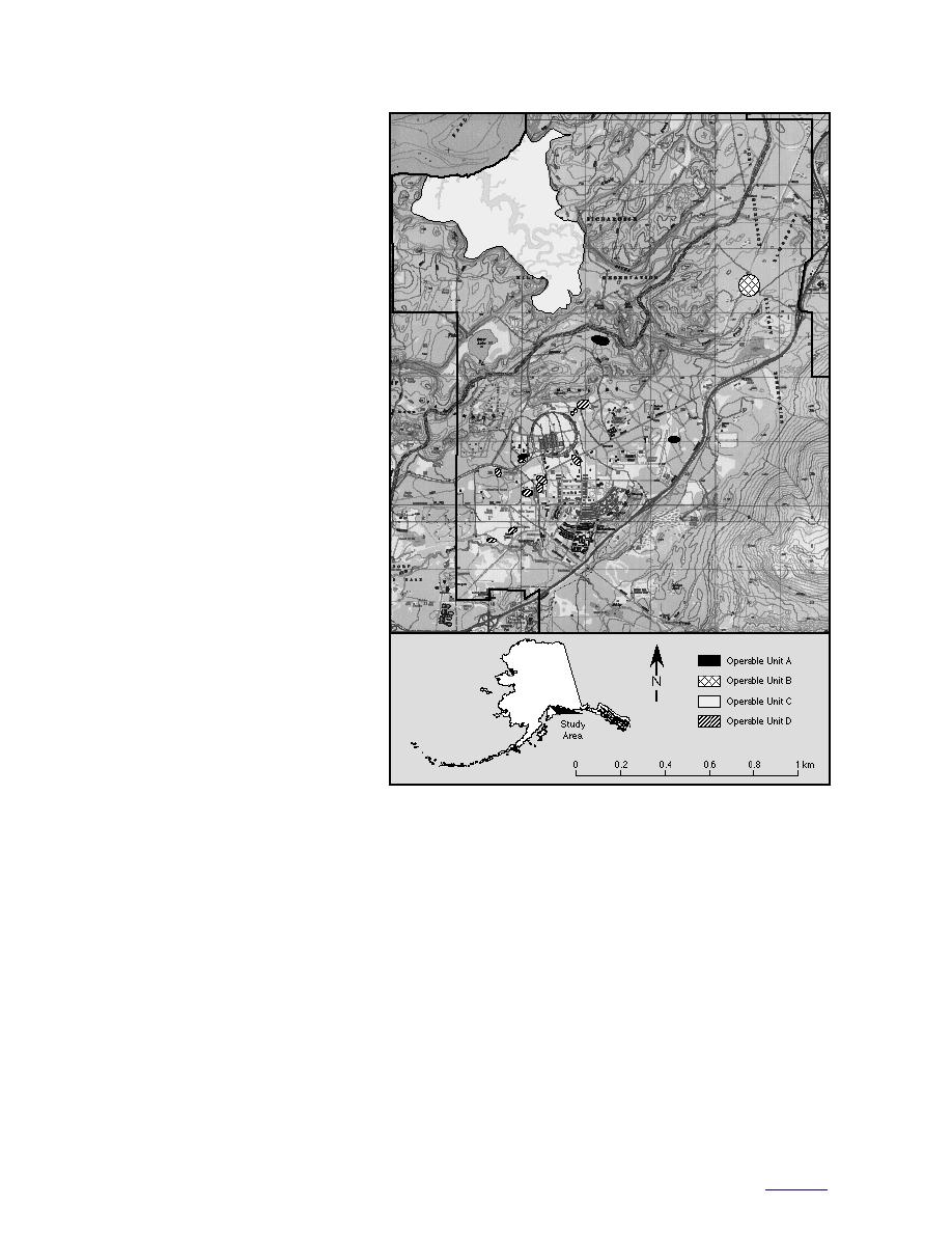
Figure 21. Operable Units on Fort
Richardson.
required however to determine if in
fact this is happening and how it
affects flow in general.
almost westerly during 1995 (USACE 1996b).
Significance to contaminant transport
Mean flow is probably to the northwest, but at
Based on the limited preliminary data that are
peak discharge the flow is in a northnorthwest
available, we can begin assessing contaminant
direction. In a worst-case scenario, Diesel Range
transport in the cantonment area and beneath the
Organics (DRO) at the site could be transported to
different OUs (Fig. 21, Table 3) (USACE 1996a).
this deep unconfined aquifer, producing a broad
plume at depth. Maximum transport would prob-
Operable Unit A
ably occur during peak ground water discharge,
The Petroleum, Oil, and Lubricant Laboratory
extending the plume to the northnorthwest.
Dry Well (POLLDW), Ruff Road Fire Training
Area (RRFTA), and Roosevelt Road Transmitter
Ground water at RRFTA is encountered 46 m
Site Leachfield (RRTSL) are in OU A.
below the surface where flow is roughly to the
The POLLDW is located in a central part of the
westnorthwest (Fig. 22) (E&E 1996). We deter-
Mountain View fan deposits, where ground
mined this flow direction on the basis of the site
water is relatively deep, about 61 m below the
investigation of E&E (1996), but it does not agree
ground surface, or 52 to 55 m asl. Flow vectors
with the surface contours determined from data
fluctuated from roughly northnorthwest to
that the USACE (1996b) measured. However, on
29
to contents


 Previous Page
