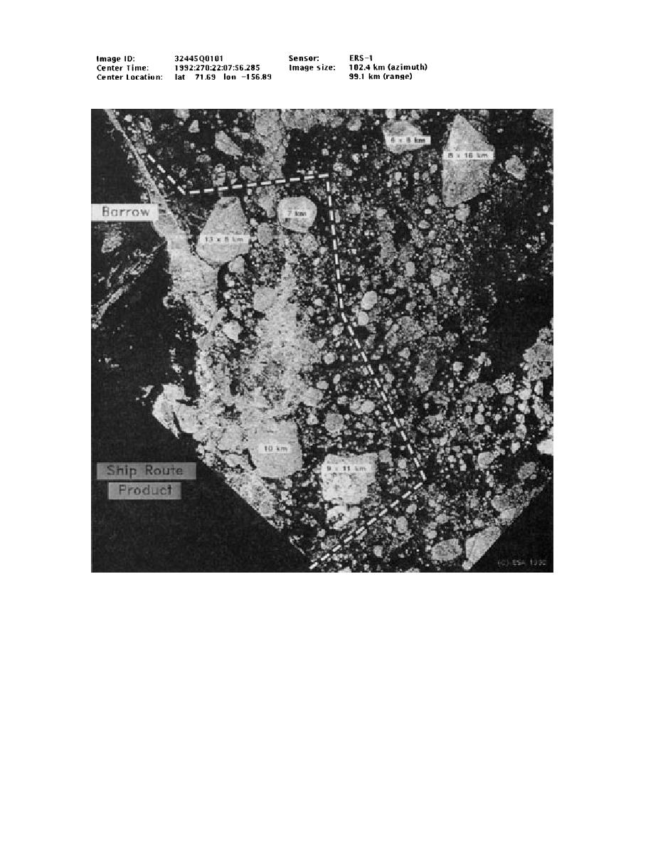
Figure 27. A specialized ship routing analysis from the Joint Ice Center. The image was produced in
September 1992 using ERS-1 SAR imagery for the USCGC Polar Star, which was en route from the
Canadian archipelago to Pt. Barrow, Alaska. It was sent directly to the ship via satellite and recommends
(dashed line) a route to avoid several large floes and ice consolidation areas. (Courtesy of the National Ice
Center.)
support activities can be found in USN/NOAA
rology and Oceanography Command Centers in
NIC (1993). This publication is currently undergo-
Norfolk, Virginia, and Pearl Harbor, Hawaii, re-
ing revision to reflect recent transfer of weather
spectively. The NIC products from previous years
forecasting responsibilities to other Navy centers.
are archived on 9-track tape and are available upon
Weather forecasts and ship routing support to gov-
request from either the National Climate Data Cen-
ernment agencies for the east and west Arctic re-
ter in Asheville, North Carolina, or the National
gions have been transferred to the Naval Meteo-
Snow and Ice Data Center in Boulder, Colorado.
40


 Previous Page
