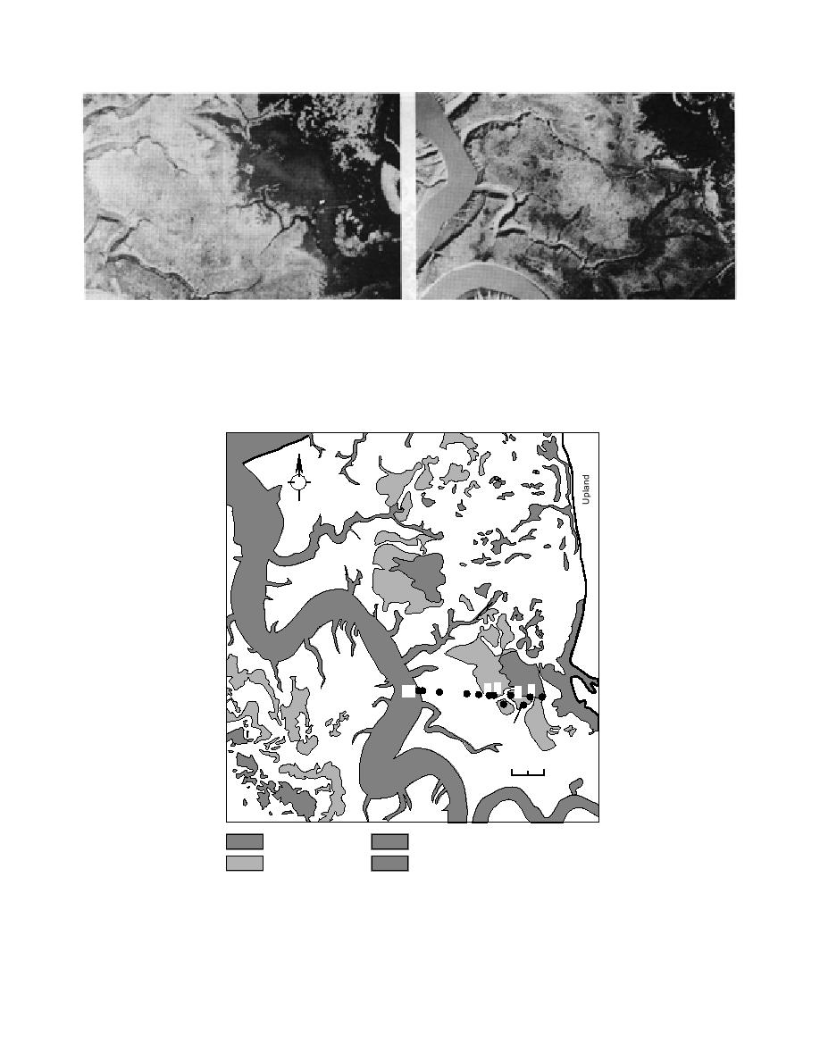
b. In August 1994, when ponds were low. The transect is
a. In May 1992, when ponds were full.
visible as a thin line running eastwest from a permanently
flooded zone to the east through the intermittent ponded area,
across the mudflat zone to the levee adjacent to the Eagle River.
Figure 15. Aerial view of Area C.
N
9
8
7 6 54
32
10
1
883
Miller's
Hole
0
200 m
Permanent Ponds
Eagle River
Intermittent Ponds
Drainage Gullies
Figure 16. Locations of study sites in Area C. Sediment temperature and
moisture were monitored and white phosphorus particles incubated be-
tween May and August at sites numbered 1 to 10. Sites 883 and Miller's
Hole are field-contaminated sites which were sampled to determine P4 con-
centrations.
16


 Previous Page
