Knik Arm
Upland
Area C
N
Upland
Permanent Ponds
Intermittent Ponds
Drainage Gullies
0
500
1000 m
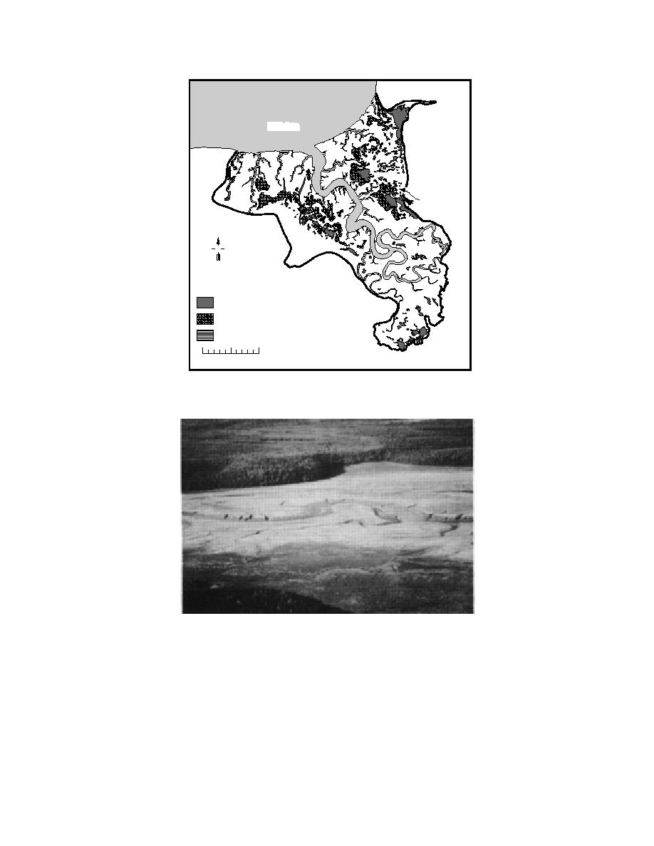
Figure 12. Eagle River Flats, showing the location of Area C, as well
as the river, drainage gullies and intermittent and permanent ponds.
Figure 13. Area C, showing bulrush marsh, permanent ponds, inter-
mittent ponds, mudflats and levees.
The gradual change in elevation along the
level) will fill the pond basin. During the sum-
eastwest transect from the main pond in Area C
mer of 1994, flooding high tides occurred on May
to the levee next to the Eagle River results in a
2427, June 2325 and September 69.
gradient in the duration of exposure of the sedi-
Area C contains several targets and impact
ments to air (i.e. lower elevations are covered
craters and has been a focus of study for water-
with standing water for a longer time than high-
fowl mortality and sediment sampling (Racine et
er elevations). Exposed sediments have the po-
al. 1992a,b,c, 1993). Most of the white phospho-
tential to become unsaturated during periods
rus contamination was detected in the perma-
without standing water. In this study, sediment
nently flooded sections (Fig. 14).
14


 Previous Page
