Cazenovia Creek Ice-Control Structures
JAMES H. LEVER, GORDON GOOCH, AND STEVEN F. DALY
INTRODUCTION
Project Overview
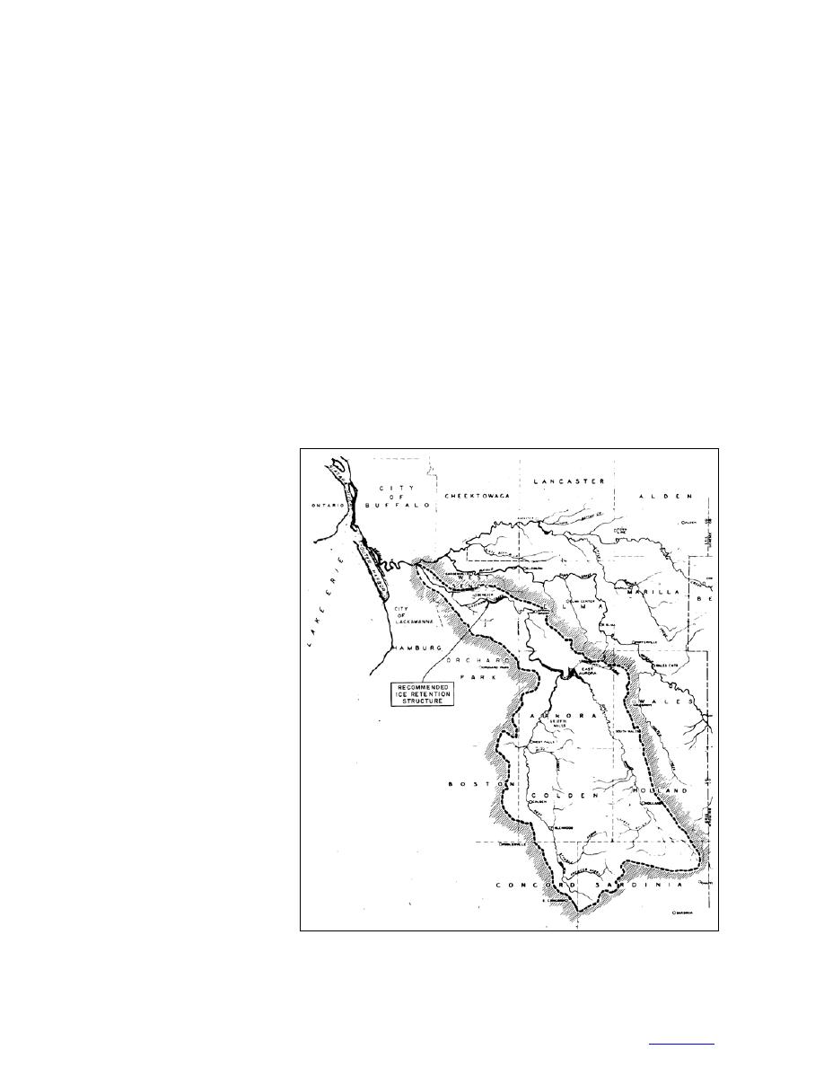
Cazenovia Creek, located in
western New York State, is the larg-
est tributary of the Buffalo River
(Fig. 1). Its basin is subject to heavy
lake-effect snow from Lake Erie,
and spring runoff typically has a
strong snowmelt component. Dur-
ing most winters, ice covers 80
100% of the surface of the creek,
and its average thickness ranges
from 1 to 2 ft. Breakup ice jams
form nearly every year during mid-
winter or spring thaws, and flood-
ing occurs along the lower basin in
the City of Buffalo and the Town of
West Seneca about every 23 years.
Some of these floods have caused
damages exceeding
||content||
,000,000, and
one death has occurred.
During the 1980's, the U.S.
Army Engineer District, Buffalo
(CELRB), investigated the feasibil-
ity of building an ice-control struc-
ture (ICS) to reduce ice-jam flood
damages along Cazenovia Creek in
the Town of West Seneca (U.S.
Army 1986a, 1986b). Based on
model tests at CRREL (Gooch and
Figure 1. Cazenovia Creek drainage basin. (From USACE 1975.) The new
Deck 1990), the ICS chosen con- cylindrical-pier ICS would be located at the same site originally proposed for a
sisted of a 6-ft-high 250-ft-wide weir-with-piers ICS or "ice retention structure" (USACE 1986a, 1986b).
TO CONTENTS


 Previous Page
