Dugway Proving Ground Installation Restoration Program GIS
9
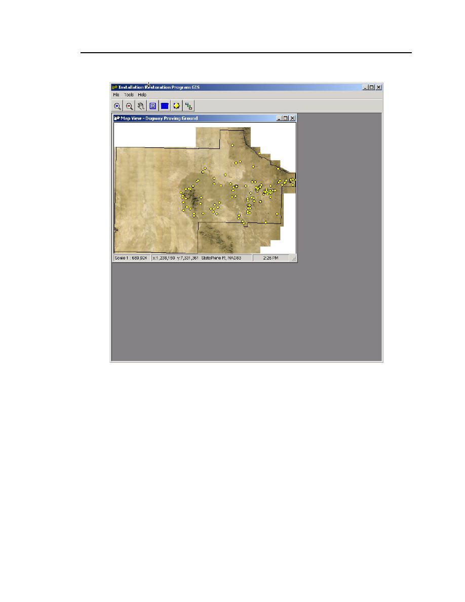
Figure 2. Map View window. This window is displayed when DPG-GIS ini-
tializes and the main application window opens. The yellow dots represent
Monument locations overlaid on a high-resolution orthophoto image. Along
the bottom of the map window a map scale is displayed along with geo-
spatial data projection information and geographic coordinates location of
the specific mouse location within the window.


 Previous Page
