Dugway Proving Ground Installation Restoration Program GIS
11
UTL for Metals in Soils--Upper tolerance level for metals in
Background.
Attenuation Parameters--Analytical parameters for weighting and
screening.
Database Date--Date last update occurred.
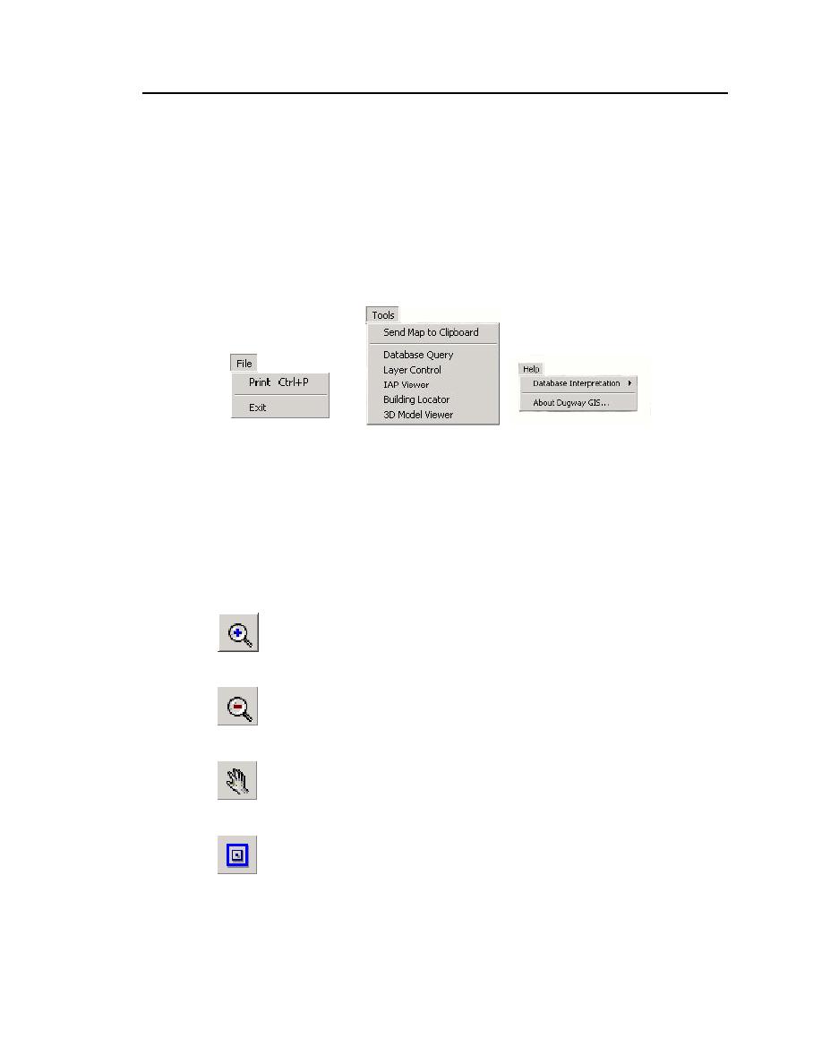
About Dugway GIS--Describes the relevant software information.
Figure 4. Pulldown menus available from the main taskbar. (See also Figure
3.)
Taskbar icons
Located directly below the file menu is a series of taskbar icons (see Figures
3 and 5). These taskbar icons perform some of the same tasks as the file menu but
also provide additional functionality.
Zoom in: Zoom to a particular object in the Map View window.
Zoom out: Zoom out in the Map View window.
Pan: Reposition the Map View window to an area of interest.
Zoom to full extent: Reposition the Map View window to its full
extent.


 Previous Page
