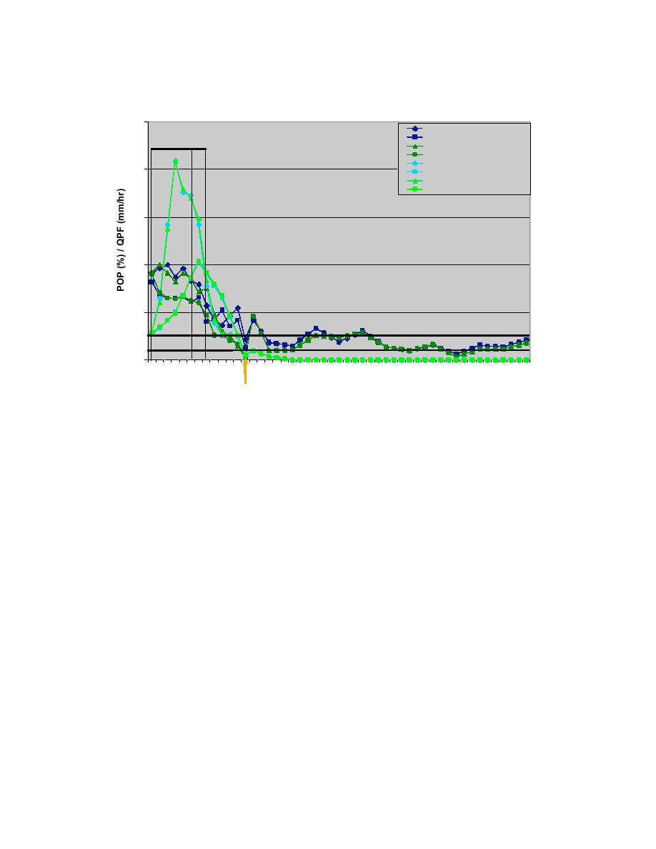
POP and QPF for Feb 20, 2004
2.5
AMW METAR POP wFSL
AMW METAR POP woFSL
AMW OB
AMW RWIS POP wFSL
RA
SN
AMW RWIS POP woFSL
AMW METAR QPF wFSL
2
AMW METAR QPF woFSL
AMW RWIS QPF wFSL
AMW RWIS QPF woFSL
1.5
1
0.5
POP Threshold
QPF Threshold
0
6
8
10 12 14 16 18 20 22
0
2
4
6
8
10 12 14 16 18 20 22
0
2
4
6
Feb 20, 2004
Feb 21, 2004
METAR/RWIS w/wo FSL End
Fig. 10.44. Same as Fig. 10.43 except the 06 UTC 20 February run. The
orange arrow indicates the forecast end time at both the METAR and
RWIS site for both with and without the FSL supplemental models.
The NWS forecast released at 830 PM CST on 19 February (0130 UTC 20 February)
included a mix of precipitation types.
.REST OF TONIGHT...RAIN AFTER MIDNIGHT. LOW IN THE LOWER
30S. EAST WIND 5 TO 10 MPH SHIFTING TO THE NORTH 10 TO 15 MPH WITH
GUSTS TO AROUND 35 MPH AFTER MIDNIGHT.
.FRIDAY...BLUSTERY. RAIN OR SNOW LIKELY THEN CHANCE OF
RAIN MIXED WITH SNOW IN THE AFTERNOON. ACCUMULATION UP TO 1
INCH. HIGH IN THE UPPER 30S. NORTH WIND 15 TO 25 MPH. PRECIPITATION
CHANCE 70 PERCENT.
.FRIDAY NIGHT...PARTLY CLOUDY. LOW IN THE LOWER 20S.
NORTHWEST WIND 15 TO 20 MPH.
According to this forecast, rain was predicted after midnight and then rain or snow during
the day on Friday, 20 February. From the observations it is seen that the rain did start at
1 AM CST but then ended by 8 AM CST and did not last through the day on 20
February. The NWS had the same problem as the RWFS with the timing of the end of
this event.
72


 Previous Page
