High Spatial Resolution Digital Imagery
7
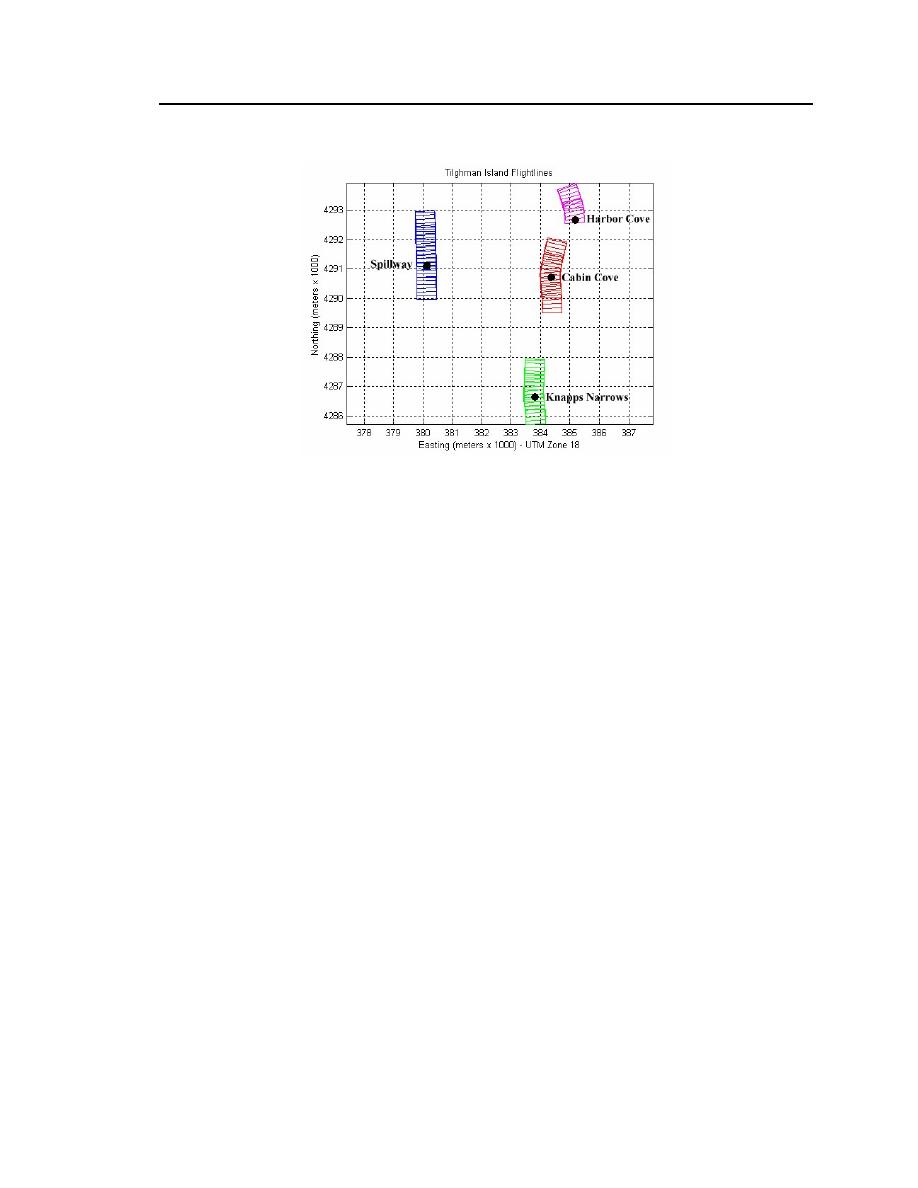
Figure 2. Sample flightlines.
2.1.2
Levee Inspections
CAMIS imagery was also acquired for the levee inspection study. Figure 3
shows the orientation and length of the nine flightlines developed during mission
planning to cover the Syn Levee. The desired nominal spatial resolution was 1 m2
per pixel. This required on aircraft altitude of approximately 6115 ft (1865 m)
agl.
Images were collected on two dates: 4 September 2001 and 17 July 2002.
The first mission was only marginally successful in acquiring cloud-free images.
A lingering mid-summer weather pattern resulted in the formation of low-altitude
strato-cumulus clouds by 1000 hours every morning during the week of 2 Sep-
tember 2001. Therefore, a second mission was flown in mid-July 2002. Weather
conditions were much more favorable, resulting in cloud-free frames of the entire
levee. Image acquisition for both missions occurred within 1.5 hours of solar
noon to provide optimal solar illumination and to minimize shadows.


 Previous Page
