6
ERDC TR-05-1
individual overlapping CAMIS frames are shown. During initial project plan-
ning, the research staff decided that image acquisition should coincide with low
tide conditions. Tidal charts predicted low tide at 1333 hours on 11 February.
While this time is approximately 2 hours after local solar noon, the imagery
would capture the wetland hydrologic conditions relatively close to low tide.
The desired nominal spatial resolution was one m2 per pixel. This required an
aircraft altitude of approximately 6115 ft (1865 m) agl. However, air traffic con-
trol at the Baltimore Washington International Airport (BWI) restricted the air-
craft to a ceiling altitude of 5500 ft (1677.5 m). The airspace above 6000 ft (1830
m) is reserved for incoming commercial aircraft. This lower altitude increased the
nominal spatial resolution (i.e., decreased the pixel size) to ~0.75 m2 per pixel
(0.87- 0.87-m pixel dimensions).
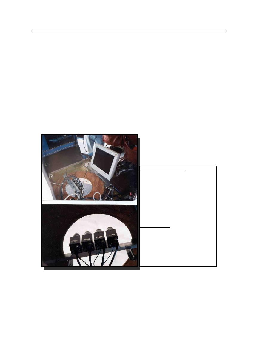
Onboard Configuration:
Cameras
Pentium II PC with vendor software
Flatscreen monitor for real-time
image display
Code phase GPS antenna to record
nominal coordinate for each frame
center
DC to AC power inverter
Typical Aircraft:
Cessna 172 Skyhawk
Navigation using code phase GPS
with moving map
Static camera mount
(Photo displays CAMIS mounted
in a Cessna 208 using standard
large format aerial camera port.)
Figure 1. CAMIS model 4768P airborne digital multispectral sensor.


 Previous Page
