means of a pump whose discharge bifurcates in two lines to the head tank of each
channel. An overflow tailgate at the downstream end of the model is used to reg-
ulate water levels in the model.
Four bathymetric conditions were simulated with the model:
1.
Flatbed, rectangular channels.
2.
Existing alluvial bathymetry.
3.
Existing bathymetry fitted with bendway weirs.
4.
Modified bathymetry (reduced size of bar) with bendway weirs.
The model fitted with flatbed rectangular channels replicated the overall plan
geometry of the confluence. It was used to observe the general features of flow
through a confluence of similar proportions and flow conditions as those of the
confluence of the Missouri and Mississippi Rivers. In particular, the model was
used to relate the flow features of flow separation and dividing streamline with
those estimated using eq 4 and 6.
The alluvial features replicated in the model were formed from a compilation of
bathymetry determined during several hydrographic surveys of the Missouri and
Mississippi Rivers. Though the surveys were not conducted at the same time, the
compilation of data overlaps adequately so as to ensure that the model adequately
represents the actual bathymetry of the confluence for the purpose of the present
study. The bathymetric data for the Missouri River are from a survey made in
August 1994. The data for the Mississippi River are from a survey made in Sep-
tember 1986. The bathymetry of the cross section common to both sets of data,
cross section 0.00-MO-195.3 MIS, is the same. The cross sections used for model-
ing the confluence bathymetry are plotted in Figure 41. They comprise three cross
sections for the Missouri River upstream of the confluence, one for the Mississippi
River upstream of the confluence, and two cross sections in the confluence. Figure
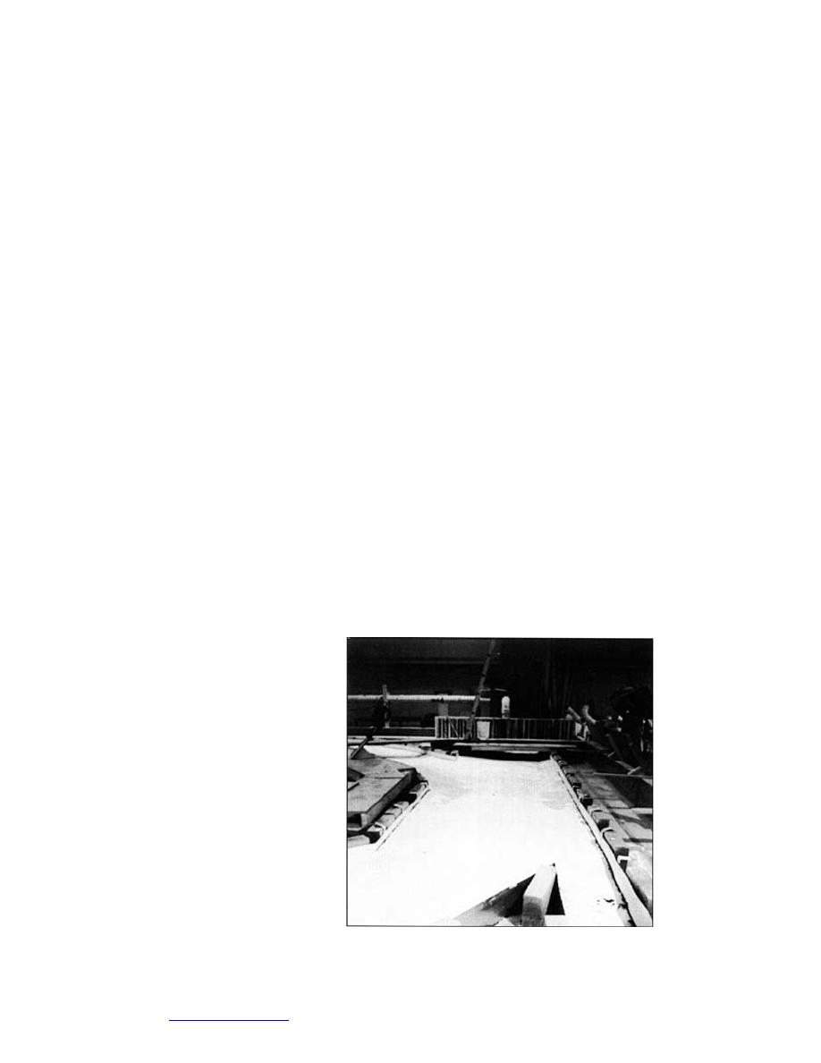
42 provides a view of the model.
The modeled locations of the bendway weirs in the confluence coincide with
the locations indicated in Figure 39. The model bendway weirs were constructed
from rock chips (maximum
dimension about 20 mm)
piled in rows to approx-
imately match the weir
g eometry recommended
by Davinroy (1994). The
weirs were level-crested,
submerged, and directed
upstream at an angle of
30 degrees relative to a
line perpendicular to the
established flow pattern.
The crown elevation of
the modeled weirs corre-
sponds to a full-scale eleva-
tion 5 m below a low water
reference plane (LWRP).
The modeled weirs, by vir-
tue of being formed from Figure 42. Photograph of the confluence of the Mississippi
rock chips, were a little and Missouri Rivers model (without bendway weirs).
50
Go to contents page


 Previous Page
