Birch Hill
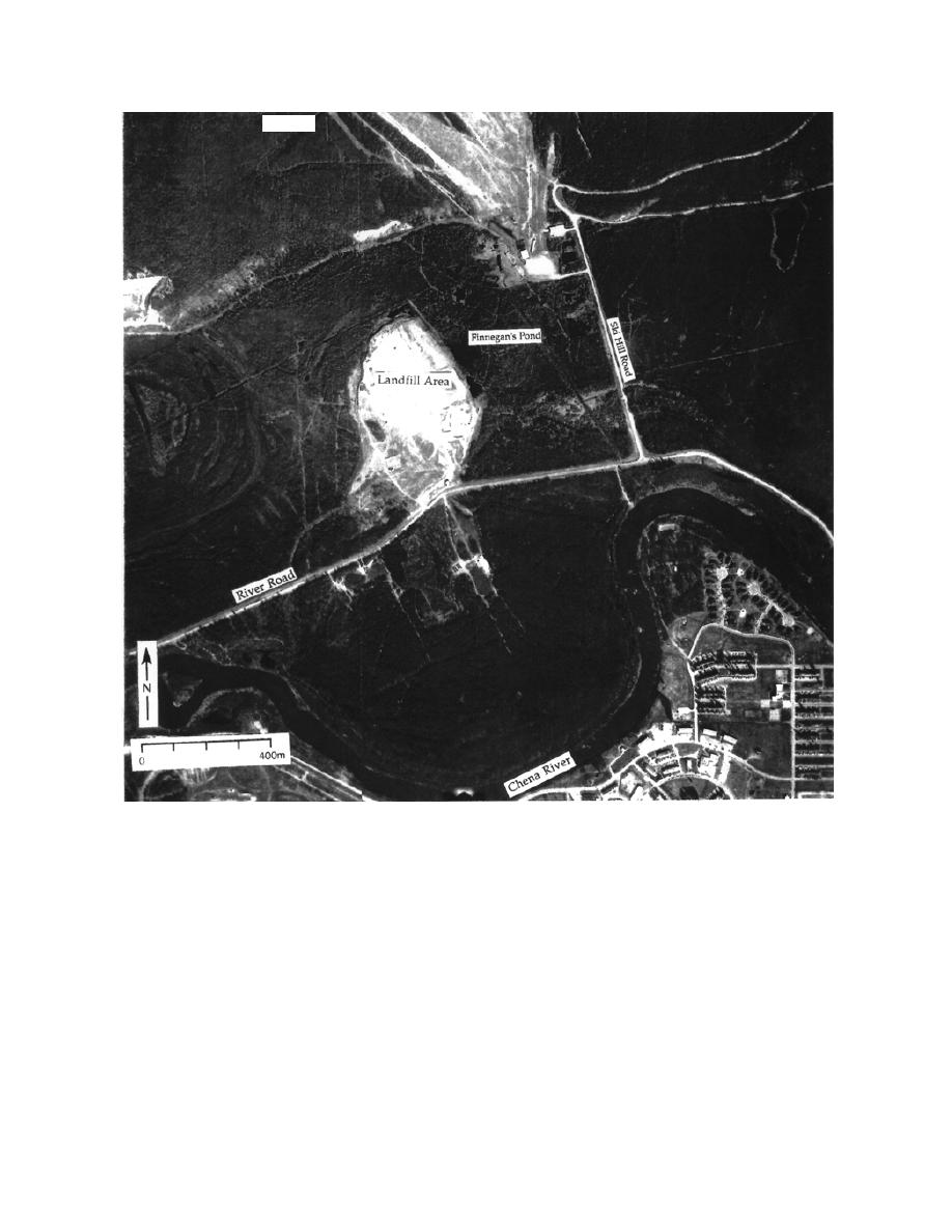
Figure 3. Aerial photograph of the discontinuous permafrost region north of the Chena River on 20 May 1993.
Arcuate landforms are usually former channels and sloughs, or point barswale complexes.
permafrost (Fig. 2). The water levels, flow rates,
frost (suprapermafrost), while the second is
and flow directions in the suprapermafrost aqui-
deeper, below the permafrost (subpermafrost)
fer vary relatively rapidly each season and possi-
(Fig. 2) (Williams 1970, Lawson et al. 1996). The
bly each day. In part, these variations are caused
suprapermafrost and subpermafrost aquifers
by infiltrating surface water from rainfall, snow-
communicate with one another where the frozen
melt, or flooding.
ground is perforated by thaw zones that are con-
Surface water also enters the ground water
fined only laterally by permafrost, and through
system from Birch Hill via two pathways. First,
the unfrozen ground beneath the Chena River
water infiltrates through the unfrozen sediments
(Fig. 2). Isolated thaw zones may be areas of
and weathered bedrock of Birch Hill, flowing on
discharge or recharge to either aquifer, and may
the competent rock surface to the base of the slope
have upward or downward vertical gradients.
where it enters the suprapermafrost aquifer. Sec-
Ground water may also be confined in taliks,
ond, water can enter the bedrock by migrating
which are unfrozen materials surrounded by
3


 Previous Page
