Geological and Geophysical Investigations of the
Hydrogeology of Fort Wainwright, Alaska
Part II: North-Central Cantonment Area
DANIEL E. LAWSON, STEVEN A. ARCONE,
ALLAN J. DELANEY, JODIE D. STRASSER, JEFFREY C. STRASSER,
CHRISTOPHER R. WILLIAMS, AND TOMMIE J. HALL
were actually contaminated, defining the extent
INTRODUCTION
and nature of the contamination, identifying
The surface and ground water hydrology of
sources, defining transport paths, and evaluat-
Fort Wainwright, Alaska, is extremely complex
ing the potential for off-site migration.
because discontinuous permafrost (perennially
In this report, we summarize ongoing hydro-
frozen ground) is present. Ground water aqui-
geological investigations of ground water and
fers can occur in unfrozen sediments above,
permafrost conditions in the north-central area of
below, or adjacent to permafrost, and in thawed
the cantonment of Fort Wainwright (Fig. 1). Our
zones within it (e.g., Hopkins et al.
1955). The permafrost, acting as a
low permeability boundary that con-
strains ground water movement and
the locations of aquifer recharge or
discharge (e.g., William 1970), may
be present because of a number of
factors, most notably human and
natural disturbances to the terrain
and vegetation. Identifying unfrozen
aquifers in permafrost terrain is,
therefore, extremely difficult. Stan-
dard techniques such as drilling or
terrain analysis cannot readily locate
frozen or unfrozen zones, except in
the most obvious instances.
The fate of contaminants trans-
ported in ground water depends
upon the distribution of discontin-
uous permafrost. These complex
hydrogeological conditions have
made it difficult for previous inves-
tigators to evaluate ground water
contamination at Fort Wainwright.
Contamination problems have in-
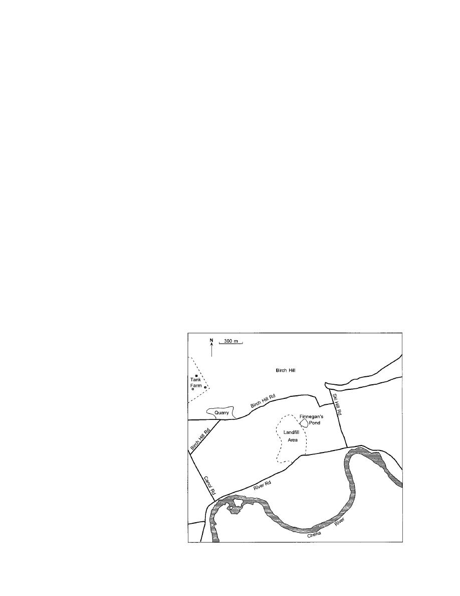
Figure 1. North-central cantonment area, showing the landfill site.
cluded determining whether sites


 Previous Page
