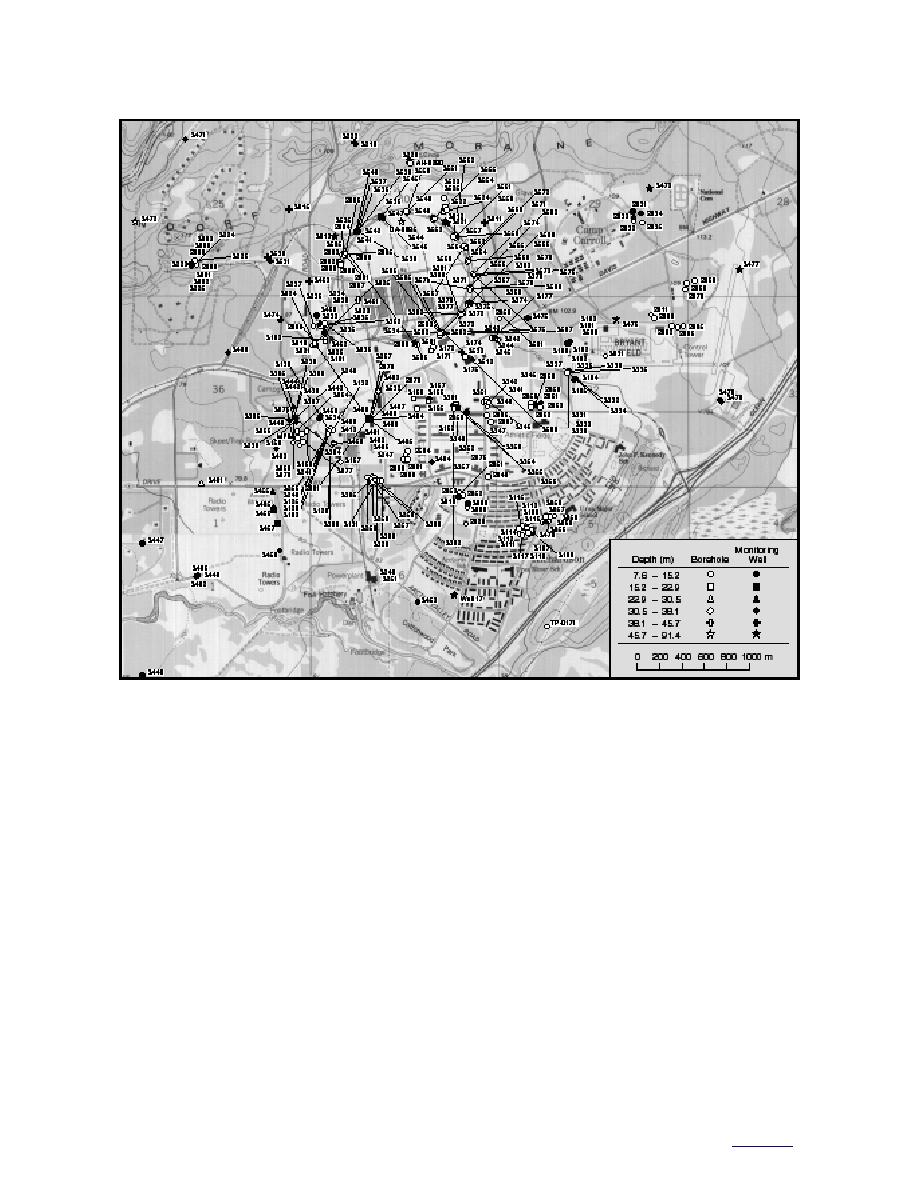
Figure 9. Boreholes and ground water monitoring wells reaching depths greater than 7.5 m.
boundary equivalent to the late Wisconsinan
tonment of Fort Richardson, based on the Late
ground moraine (a diamicton equivalent to the
Wisconsinan glacial history of the Anchorage
Rabbit Creek moraines; Plate 1) is located above
Lowland, is shown in Figure 10. Deposits older
either pre-Wisconsinan drift or bedrock (Fig. 10).
than Wisconsinan age are ignored because they
Two diamicton horizons above the Rabbit Creek
are poorly documented in the region and more
deposits correspond to glacial advances that we
recent glaciations would have likely modified or
call the Fort Richardson and Dishno Pond read-
eroded them away. Therefore, older diamicton
vances. The last advance, which corresponds to
deposits are probably limited and may be only
the deposition of the Elmendorf Moraine, did not
locally important in the regional hydrogeology.
override the cantonment area. Therefore, no diam-
While the model gives us a theoretical framework
icton blanket was deposited across the canton-
for the hydrogeology, it is generalized and does
ment from this advance. Rather, coarse proglacial
not account for the variability in space and
and ice marginal outwash deposits likely inter-
through time that typifies glacial and glacial
finger with lenses or discontinuous layers of dia-
marine environments. Nor does it account for the
micton generated along the front of the Elmendorf
effects of erosion and reworking after the sedi-
Moraine.
ments were deposited.
Proglacial stratified silt, sand, and gravel were
The cycles of ice advance and retreat that the
likely deposited between the Fort Richardson and
region has experienced would have created a
Dishno Pond events, and on the surface generally
complex stratigraphy below the cantonment (e.g.,
south of the Elmendorf Moraine (Fig. 10). Ideally,
Fig. 3). For our purposes, we assume that a lower
14
to contents


 Previous Page
