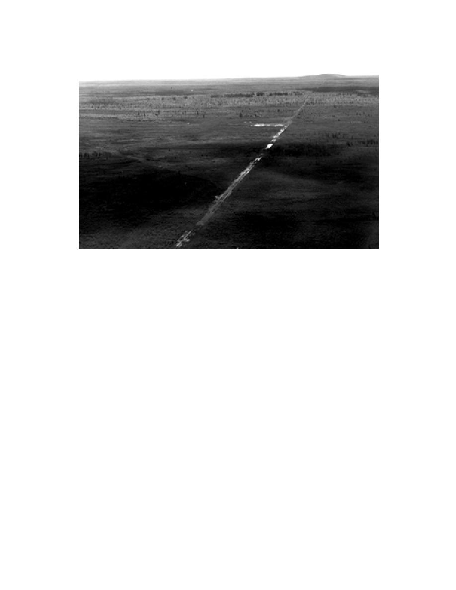
Figure 6. Aerial oblique view of Tanana Flats looking south toward Clear Creek Butte (right) and the
Alaska Range along the route of the Bonifield Trail, an old trail used for winter training maneuvers.
ered by finer sand and silt carried by the
end of the field season on August 31; however,
glacier-fed Tanana River. Glaciers that originate
lowland depressions were displaying fall colors
in the Alaska Range still contribute to the heavy
by August 20.
silt load carried by the Tanana today.
Annual precipitation for the Fairbanks area is
Quaternary, micaceous loess deposits mantle
297 mm (11.7 in.). Rains usually begin in May and
the uplands. The thickness of this layer varies with
reach a maximum in August, followed by a no-
elevation, exposure, and distance from the plains.
ticeable decline in precipitation from September
Since the original depositions, much of the mate-
through December. Average annual snowfall is
rial has been redeposited on the lower slopes and
1692 mm (66.6 in.). Snows begin as early as Sep-
upland valleys.
tember (Racine and Walters 1991).
Fort Wainwright lies within the YukonTanana
Upland and the TananaKuskokwim Lowland
Geology and soils
geographic divisions of Wahrhaftig (1965). The
The Quaternary geology and geomorphology
latter includes Tanana Flats (Pewe 1975).
of the Fairbanks area have been summarized by
The broad, flat floodplains of the Tanana River
Pewe et al. (1966), Pewe (1975), and Pewe and
and its major local tributary, the Chena River, com-
Reger (1983). The country rock is Birch Creek
prise a large part of the area and maintain vast
schist, a Precambrian formation consisting mainly
expanses of peatlands. The Tanana River approxi-
of folded and strongly jointed quartz mica and
mates the boundary between the two major geo-
quartzite schist (Pewe et al. 1966). Exposures of
graphic divisions of the study area and occupies a
granitic or ultramafic intrusives also occur locally
system of anastomosing channels sometimes split
as rock outcrops. A series of tors is characteristic
around islands and in other places braided (Fig.
of nonforested alpine domes (hilltops) in the east-
2). Seasonal or perennial side channels enclose
ern part of the YMA.
densely vegetated islands, some of which are
Although the Fairbanks area itself has never
stable for decades or centuries (Viereck et al. 1993).
been glaciated, hundreds of meters of sand and
Tanana Flats in the Tanana Lowland is a nearly
gravel were deposited in the Tanana floodplain
level terrain sloping gradually north from the foot-
during periods of maximum glaciation (Pewe and
hills of the Alaska Range to the Tanana River. It is
Reger 1983). These deposits have since been cov-
5


 Previous Page
