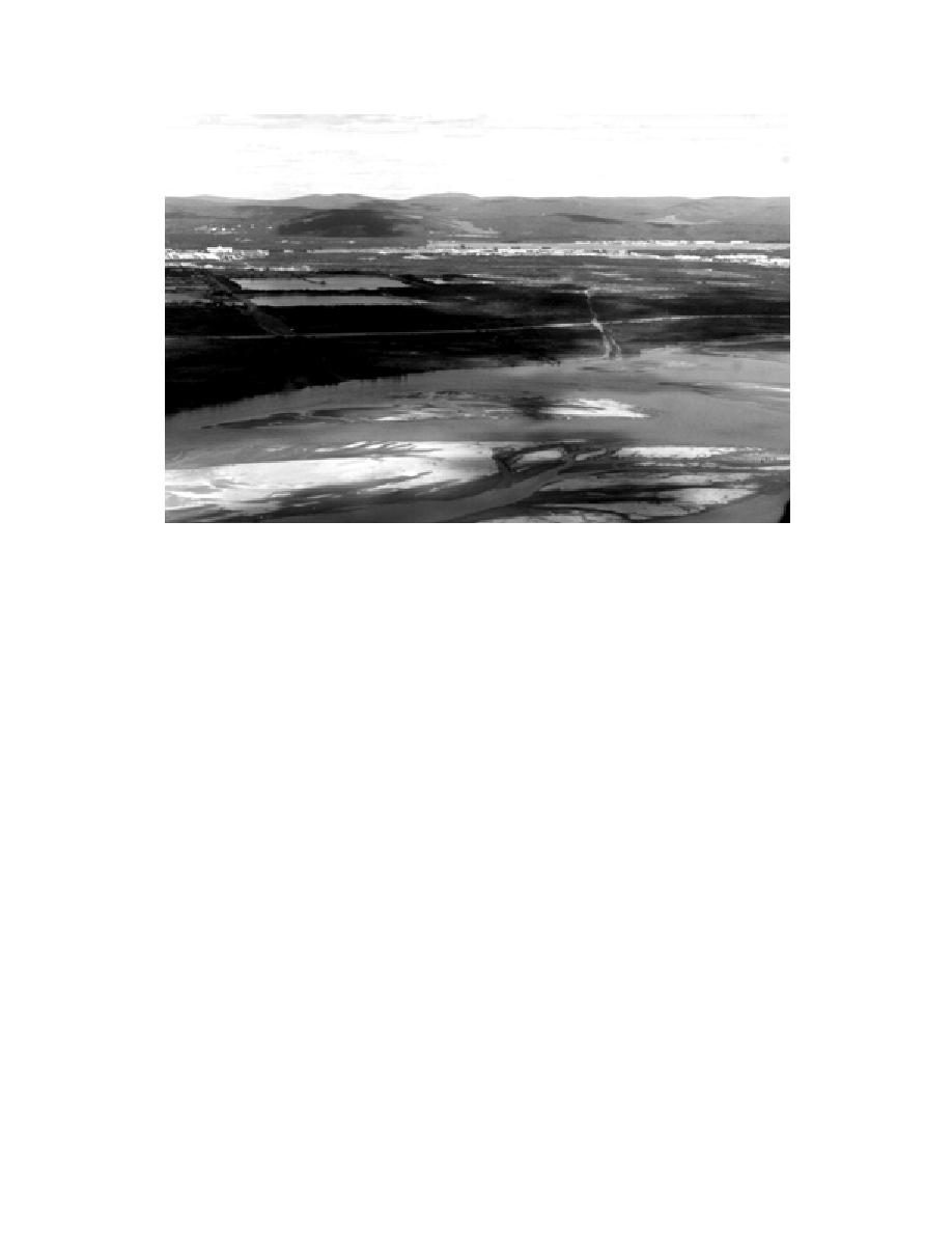
Figure 3. Aerial oblique photo looking north across the Tanana River toward the YukonTanana
Uplands, Fairbanks, and the cantonment area of FWA dominated by buildings, lawns, road, and
other disturbed habitats.
Flats Wood River area)" (Fig. 2). A total of 13 USGS
and Beaver Creek on the north. Like the Tanana
1:63,360-scale maps are required to cover the en-
Flats, the area is largely remote, but the YMA does
tire base area (Fairbanks B1, B2, B3, C1, C2, C3,
have a limited road and trail network.
C4, D1, D2; Big Delta B6, C5, C6, D6). The 370,445-
The largest of the two major training areas is
ha (915,000-acre) installation can be divided into
the Tanana FlatsBlair Lakes Air Force Range
three major regions: the cantonment, the Yukon
south of the Tanana River covering over 257,200
Maneuver Area, and Tanana Flats (Fig. 1 and 2).
ha (620,000 acres) (Fig. 6). Tanana Flats occupies
The cantonment and Yukon Maneuver Area
an area between the Tanana and Wood Rivers (Fig.
(YMA) are separated from Tanana Flats by the
1), extending south to Blair Lakes. The area is also
large floodplain of the Tanana River (Fig. 3 and 4).
drained by Bear, Clear, Willow, and Crooked
Most base facilities and services are located in
Creeks. There are no roads, so it is largely acces-
the cantonment area on the eastern edge of the city
sible only by helicopter. Airboats have limited ac-
of Fairbanks (Fig. 1 and 3). It extends south from
cess from the major rivers.
Birch Hill to the Tanana River, including a section
of the Chena River, and covers about 6075 ha
Climate
(15,000 acres). The Fairbanks Permafrost Experi-
The Fairbanks area is characterized by a conti-
ment Station is an outlier of the cantonment area
nental climate with extreme seasonal variations in
and is located on the west side of the Steese Ex-
temperature (Pewe and Reger 1983). The mean
annual temperature is 3.28C (26.1F); the record
pressway northwest of Birch Hill.
high temperature is 37.2C (99F), and the record
The YMA occupies about 1042 km2 (260,000
low temperature is 55C (66F).
acres) east of Eielson Air Force Base in an area
south of the Chena River lowlands, extending
The transition from winter to summer and vice
south to the Salcha and Little Salcha Rivers (Fig.
versa is rapid. The average last date of freezing
5). The YMA is bounded by the headwaters of
temperatures is May 21, and the average date of
Moose and French Creeks on its western slopes,
frost reoccurrence is August 30, giving a growing
Ninety-Eight Mile Creek and the Salcha River on
season of approximately 100 days. The first frost
the south, and the South Fork of the Chena River
of the season in 1995 had not occurred before the
3


 Previous Page
