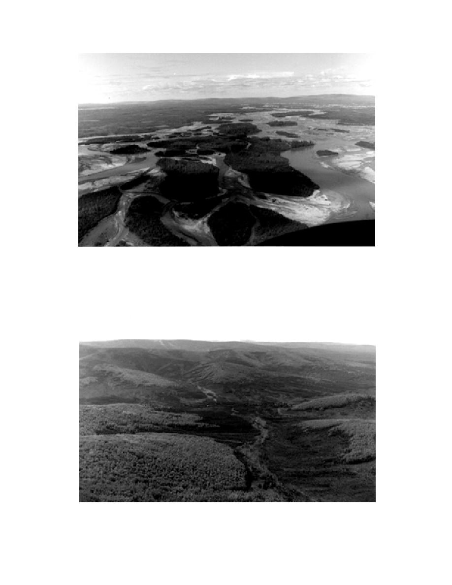
Figure 4. View up the Tanana River floodplain separating the Yukon Maneuver Area and the canton-
ment from the Tanana Flats areas of FWA. Note braided channels and islands in early stages of plant
succession, and late-successional riparian spruce forests that parallel the river. The river here approxi-
mates the boundary between the YukonTanana Uplands and Tanana Flats.
Figure 5. Aerial oblique photo of the Yukon Maneuver Area (YMA) in the YukonTanana Uplands
consisting of rolling hill and valley topography. Black spruce/bog vegetation occupies darker valley
and lower slope areas with greener deciduous (birch and aspen) forests on the upper slopes.
4


 Previous Page
