Overall at Ames, the RWFS predicted the start of the precipitation quite well, but had
some problems with the end time. Air temperature forecasts were accurate, but even
slight errors could have resulted in a blown precipitation type forecast if the actual
temperature had been just a degree or two colder. Wind speed forecasts were excellent
and visibility forecasts were reasonable, except that the drop in visibility associated with
the fog that followed the precipitation event was not forecasted.
10.2.2 Light Snow Case 26 January 2004
This event was a long-lived light snowfall event that affected the demonstration area
between approximately 03 UTC on 26 January and 11 UTC on 27 January 2004. During
much of this time the snowfall was fairly light with an occasional period of more
moderate snowfall. In all, about 4-8 inches of snow fell in the Ames area. With cold
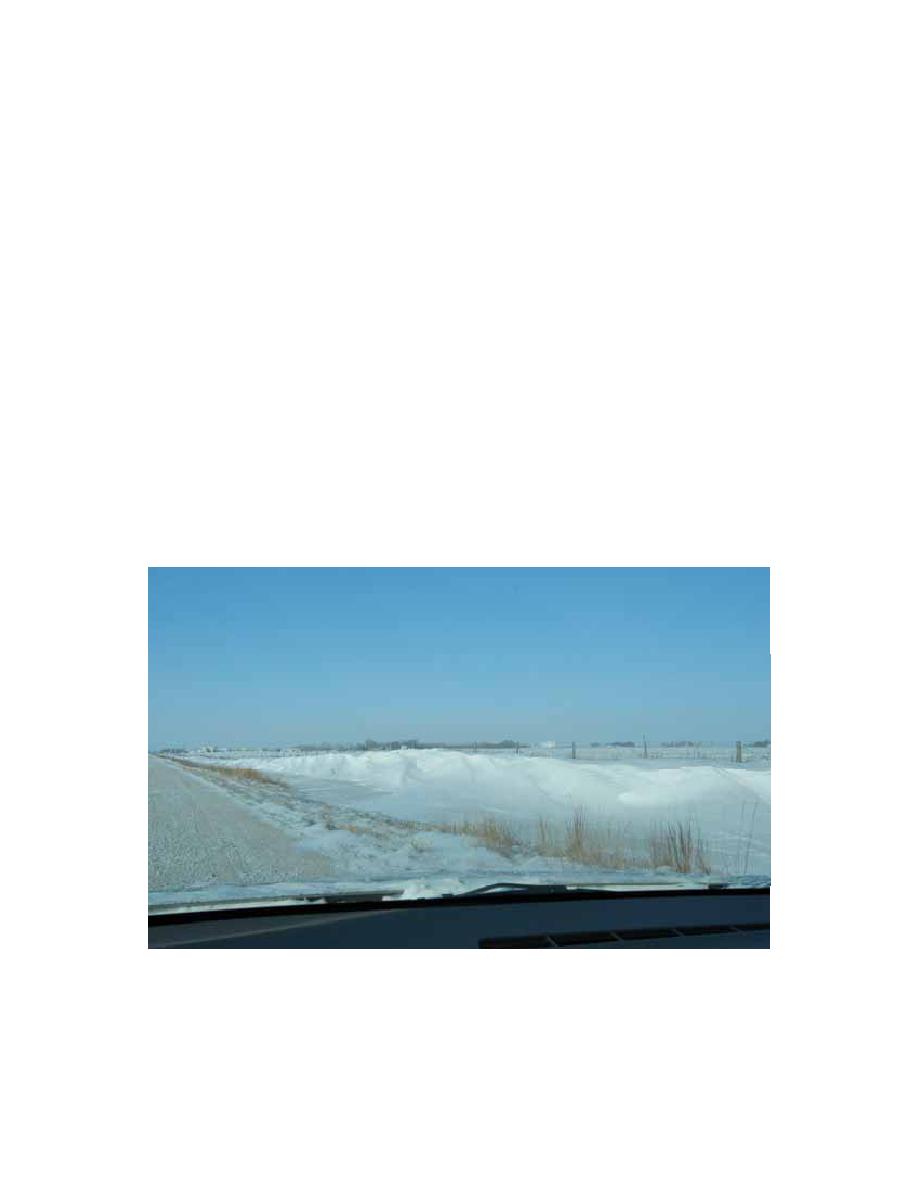
temperatures and high winds during this event there was significant blowing and drifting
snow which made it difficult to determine exact accumulation amounts (see Fig. 10.13).
The official snow accumulation reported by the National Weather Service (NWS) was
7.9 inches for Ames, but lab personnel on-site indicated amounts closer to 4-5 inches at
the Department of Transportation (DOT) garage in Ames.
Fig. 10.13. Snow drifts along US-30 about 3 miles east Ames DOT
garage.
37


 Previous Page
