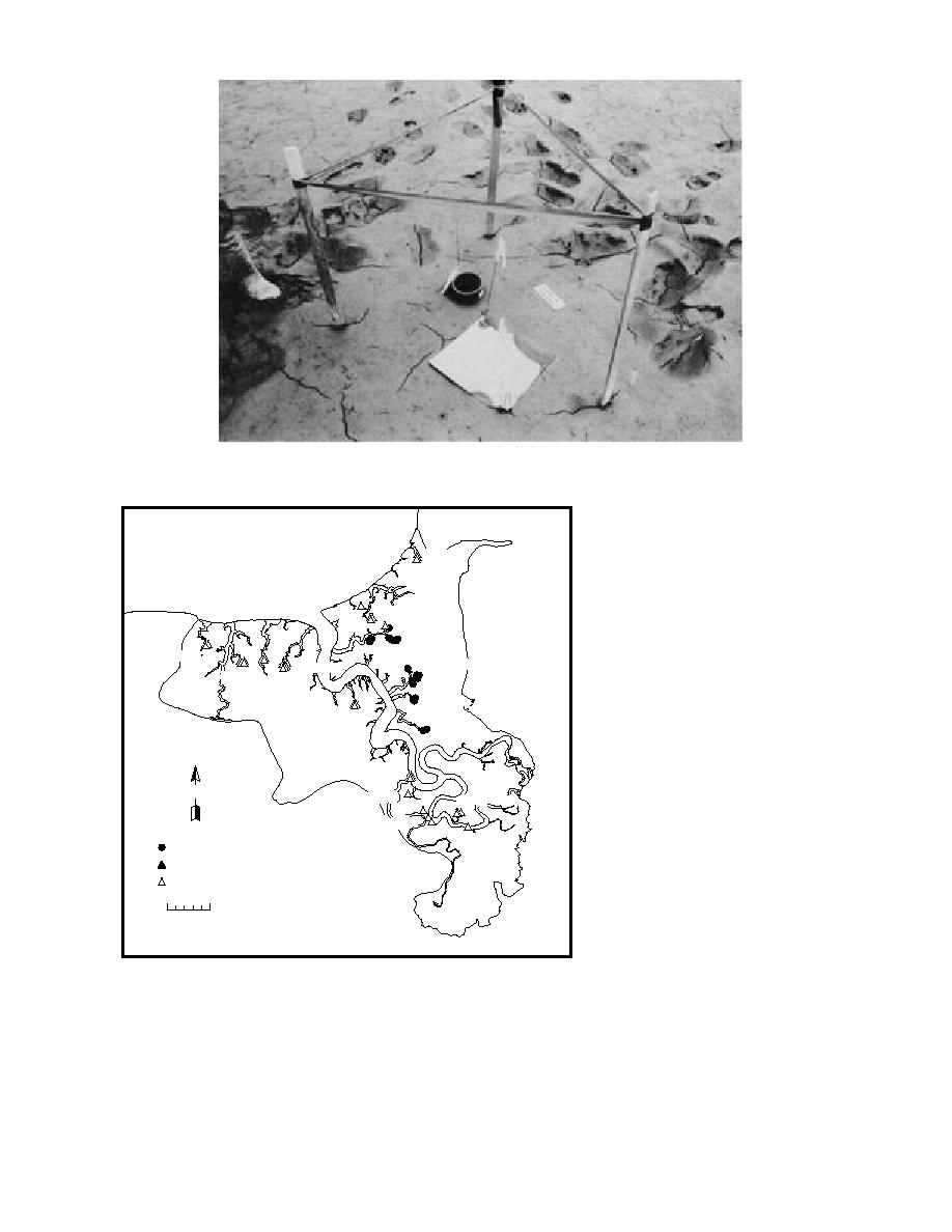
Figure 12. Example of sedimentation station at intermittent pond location showing
layout of cup and plate sampler.
Coastal 1
Coastal 4
Bread Truck
Coastal 7
In-between
Coastal 5
Coastal 6
Parachute
Tanker
B
River-North
N
Illume Pond
Racine Island
River-Meander
River-South
1992 Hub Site
1993 Hub Site
994 Hub Site
0
500 m
Figure 13. Gully headwall and lateral
wall erosion sites.
1 in May 1994 and 39 in July 1994. At each site,
Gully erosion and recession
Gullies draining the ponds and mudflats are
stakes were driven into the ground along a straight
actively extending inland by headwall and lateral
line at known distances from one another and
wall erosion. We established 57 sites to evaluate
from the crest of a gully scarp (Fig. 14). A "hub"
retreat rates (Fig. 13)--11 sites were established
stake was set at a known distance from this stake
in June 1992, 3 in June 1993, 3 in September 1993,
line. The distance between the hub and the crest
15


 Previous Page
