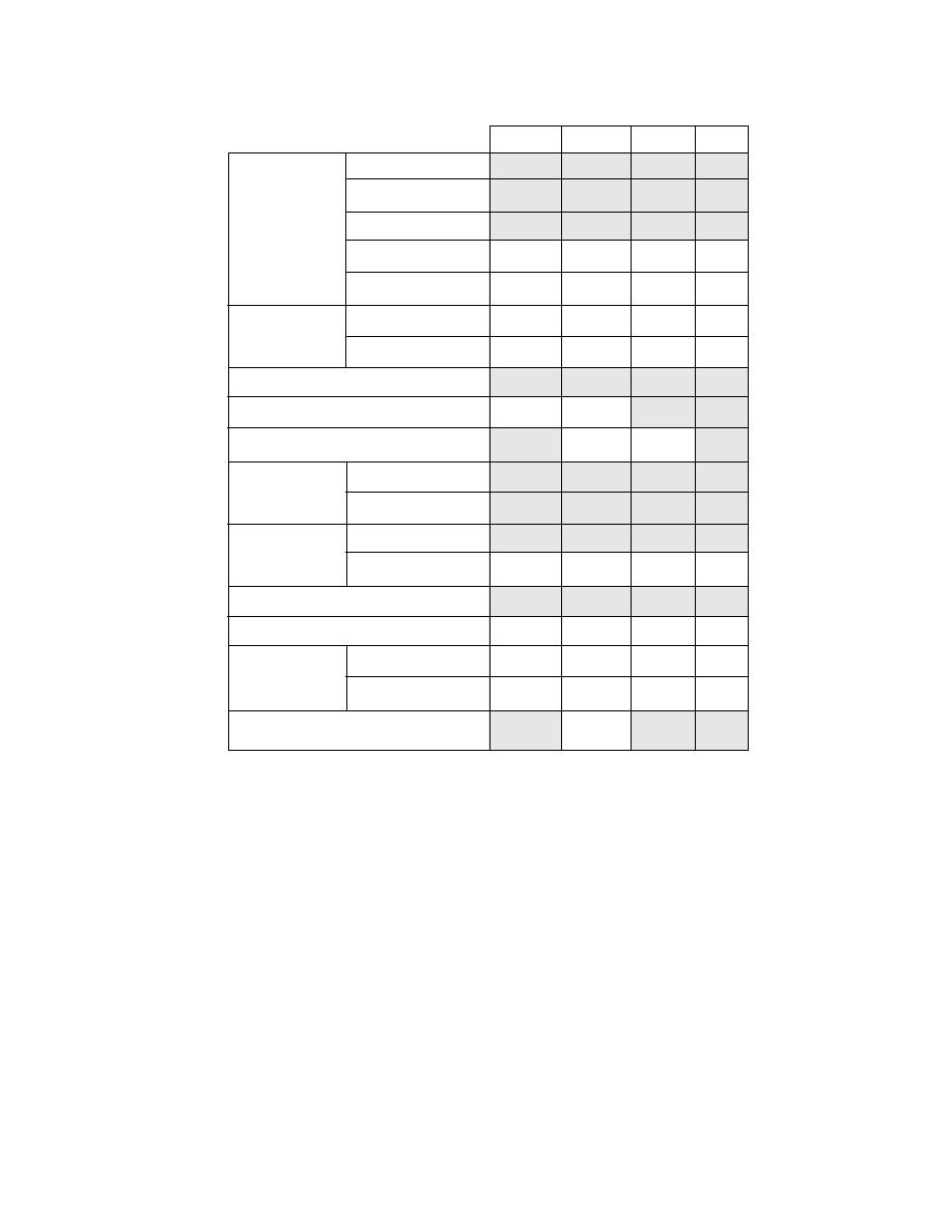
Table 5 Summary of environmental variables. Shaded blocks indicate vari-
ables used in NSRSIM01.
Apr
Jun
Aug
Oct
Concentration
Thickness
Sea Ice
Pressure
Salinity
2
2
2
2
Strength
2
2
2
2
Distribution
1
1
1
1
Ridges
Spacing
1
1
1
1
Fog
Icing
1
1
Snowstorms
1, 4
1, 4
Permanent Ocean
Wind induced
Height
Waves
1
1
1
1
Winds
Temperature
2
2
2
2
Diurnal
4
4
4
4
Tides
Storm surge
2, 4
2, 4
2, 4
2, 4
Darkness
3
Notes: 1. Insufficient data.
2. Impact accounted for by other factors.
3. 24 hours of daylight assumed for June.
4. Not a significant factor at most data points.
visibility (as affected by fog, rain, snowstorm, and
Input variables: Meteorological
Table 5 shows the environmental parameters
duration of daylight).
that were considered when we designed NSRSIM01.
Wind
Shaded cells indicate those variables that are cur-
rently used, and the notes explain why others were
The available wind regime information was not
not used.
adequate to make a statistical description of the
Three major meteorological phenomena that can
wind speed and direction. We therefore used a
impede commercial navigation are addressed in
geostrophic wind model (Gill 1982) to simulate
the wind regime over the Arctic Ocean with a space
the model. These are wind (both speed and direc-
resolution of about 50 km. Simulations of wind
tion), vessel topside icing (due to the combined
were initialized and started from rest on 1 January
influences of cold air and water temperatures, di-
rection and speed of the wind, direction and speed
1946, and run for 43 years until 31 December 1988,
of the ship, and state of the sea), and horizontal
using daily surface atmospheric pressure data from
21


 Previous Page
