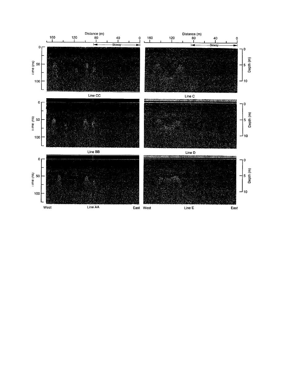
Figure 20 (cont'd).
tively, most of these objects could be dug up since
maining lines A through J each show a continuum
they are not deep.
of diffractions that represent a considerable
The debris field just west of the skiway must
amount of debris ranging in depth from 612 m.
be avoided. That is possible by routing the tunnel
As shown in Figure 21, this debris resides in a line.
just north of this area where lines K through Q
Perhaps it is an old trash dump.
showed no debris.
The skiway, all of section A east of the skiway,
Scattered debris west of the ASTRO building is
all of section B and almost half of section C are
located at depths that will cause it to interfere
clear. There are many indications of debris along
with tunneling. However, safe routes through
the tunnel route west of the ASTRO facility, and
this area are possible. Our route surveys enabled
also along the easterly half of section C in the vi-
us to find debris and assess the suitability of tun-
cinity of the fuel bladder by the taxiway. Some of
neling routes, but that work was not conducted to
the dots in Figure 21 form linear patterns that may
pinpoint the location of each potential problem.
indicate utility lines or orderly storage of aban-
An additional radar survey for that purpose will
doned equipment.
be needed just prior to tunneling.
Most of the debris near the fuel bladder is locat-
ed at a depth of less than 4.3 m. Since the top of the
ASTRO to elevated dormitory
tunnel will be at least 4.6 m below the surface,
This survey route (section D in Fig. 18) was
most of the debris in this area should not be
added to determine the feasibility of tunneling
a problem, and a tunnel route can be selected
along this route, since new station facilities prob-
to miss the few deep objects in this area. Alterna-
21


 Previous Page
