92
ERDC/CRREL TR-02-14
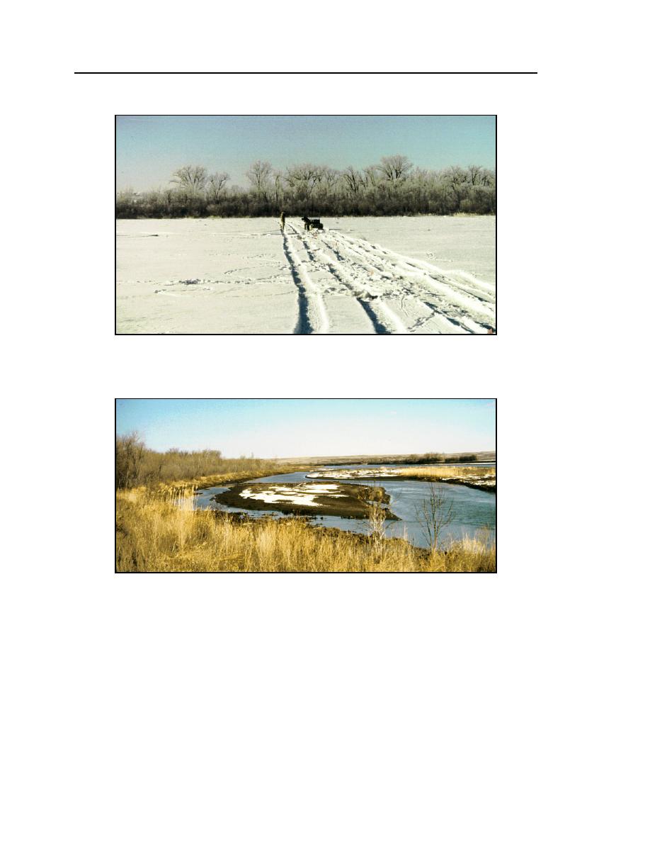
c. 23 February 1999 (view across the upstream survey alignment with the flow
from right to left).
d. 4 April 1999 (view of the south bank with the flow from top to bottom).
Figure 66 (cont.). Mattelin site (RM 16451647) during the survey.
the southern half of the river, whereas a deeper, narrower flow passes along the
north bank. When the ice cover progressed up through the site on 21 December,
the ice cover first enveloped and virtually plugged the northernmost subchannel
at the site's downstream end. Subsequently, as the cover progressed upstream, it
occupied the middle subchannel. Eventually the southernmost subchannel, the
deepest subchannel at the site's upstream end, became ice covered. The ice cover


 Previous Page
