RIVER ICE INFLUENCES ON FORT PECK REACH, MISSOURI RIVER
89
1915
1910
1905
1900
1895
Oct
Jan
1890
Feb
April
1885
1880
0
100
200
300
400
500
600
700
800
900
Distance Relative to Downstream Right Bank (ft)
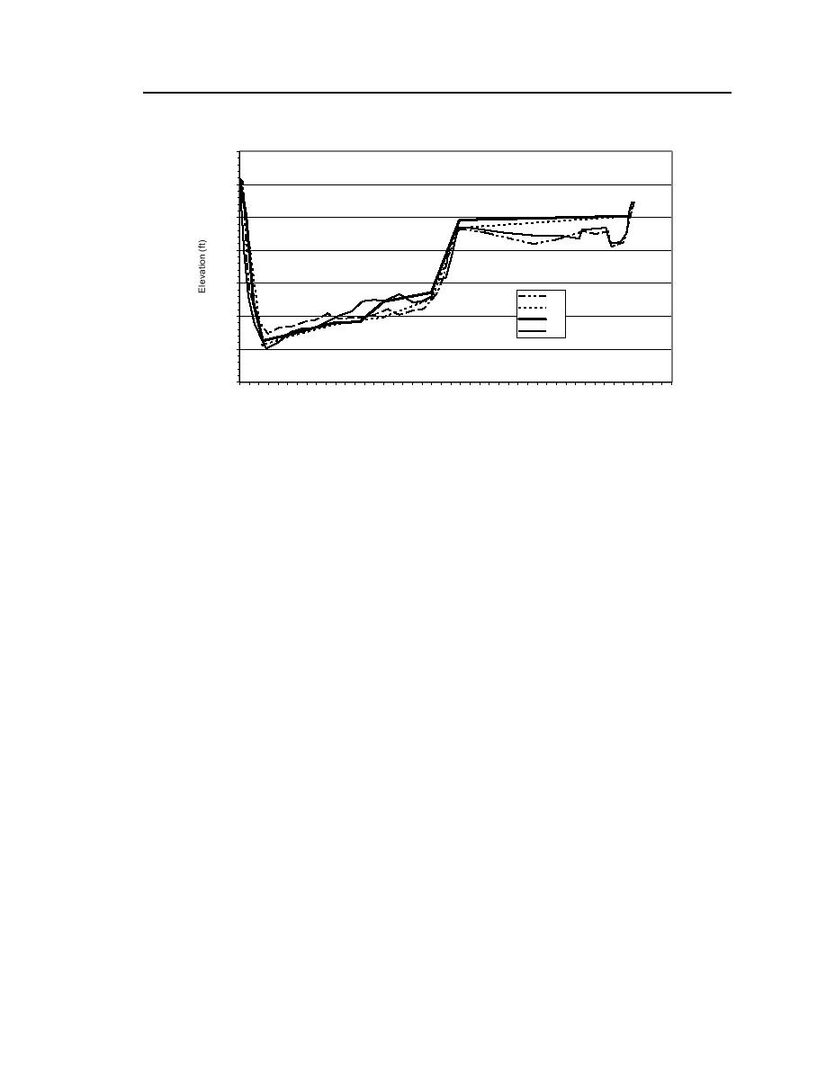
Figure 64. Bed profile cross sections at RM 1632.55.
the bank toe. The same lowering of bed elevation was measured at the other two
cross sections, and all remained lowered once the ice cover had left the site.
The bed elevation along the river's inner bank altered during the survey. It
apparently rose in elevation about 3 ft at the three cross sections, then lowered
during the winter. The cause is unclear, but it may be attributable to local shifts
in the smaller subchannel along the site's inner bank.
Flow velocities
Figure 65 is a velocity profile from about the middle of the downstream cross
section (RM 1632.55 station 2+00). Open water measurements were not taken
during the survey in April.
Comments
The findings at this site concur with those observed at the Tveit-Johnson site
in revealing the potentially severe combined hydraulic and geomechanical influ-
ences on the channel exerted by river ice. The combined influences led to bank
collapse and the removal of collapsed bank material. The cracks observed in the
bank at the connection of bankfast ice with the bank reflect both the influences
and the need for further investigation.


 Previous Page
