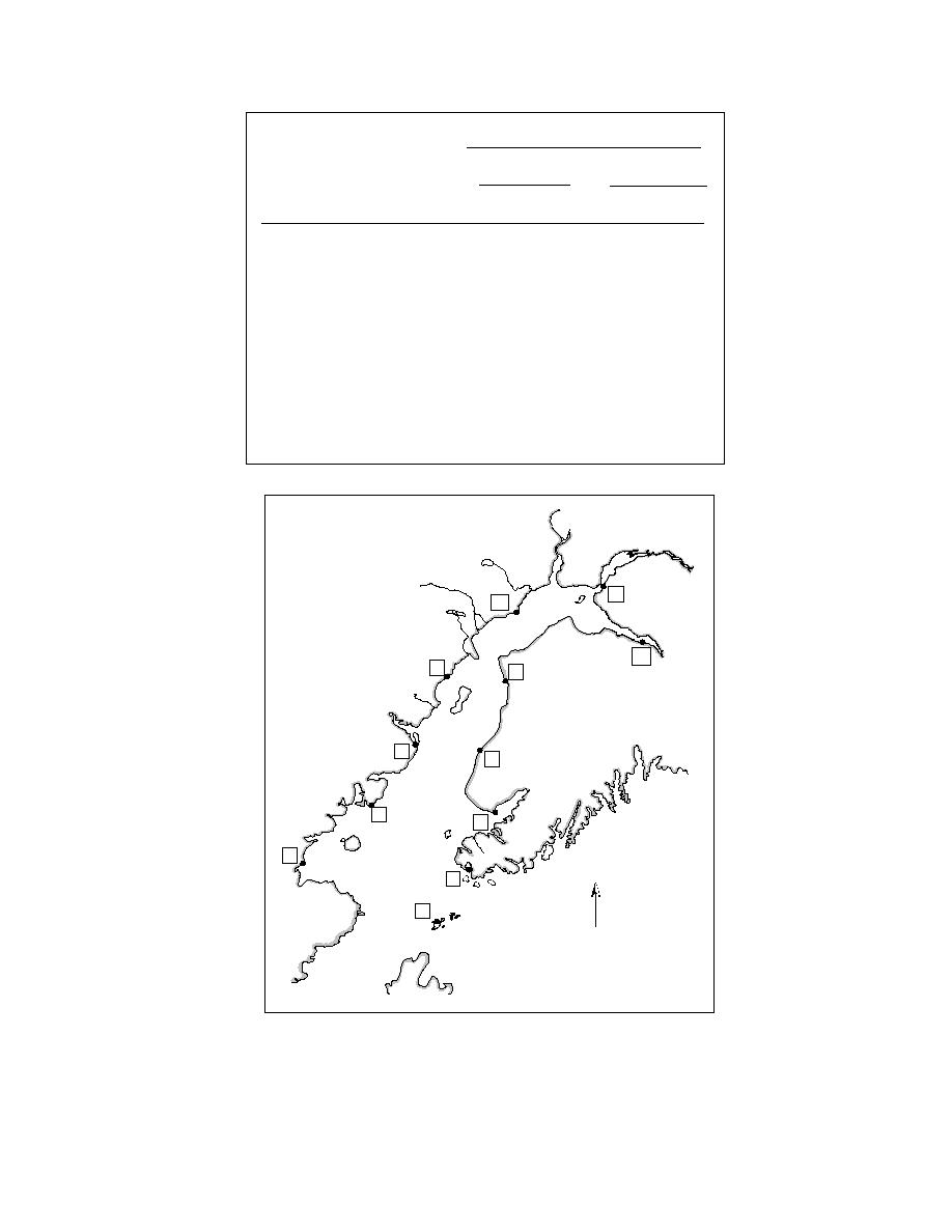
Tidal Range
Mean
Diurnal
Map
Site
Location
(m)
(ft)
(m)
(ft)
Ushagat Island
1
3.47
11.4
4.18
13.7
Nordyke Island
2
3.93
12.9
4.63
15.2
Port Chatham
3
3.63
11.9
4.36
14.3
Oil Bay
4
3.84
12.6
4.24
13.9
Homer
5
4.79
15.7
5.52
18.1
Snug Harbor
6
4.02
13.2
4.79
15.7
Ninilchik
7
5.09
16.7
5.82
19.1
Drift River Terminal
8
4.69
15.4
5.52
18.1
Kenai River
9
5.39
17.7
6.31
20.7
North Foreland
10
5.58
18.3
6.40
21.0
Anchorage
11
7.89
25.9
8.78
28.8
Sunrise
12
9.24
30.3
10.15
33.3
11
10
12
8
9
6
7
4
5
2
3
N
1
Figure 20. Tidal ranges at various locations around Cook In-
let. The mean tidal range is the difference in height between
the mean high water and the mean low water levels. The diur-
nal tidal range is the difference between the mean higher high
water and the mean lower low water levels.
57


 Previous Page
