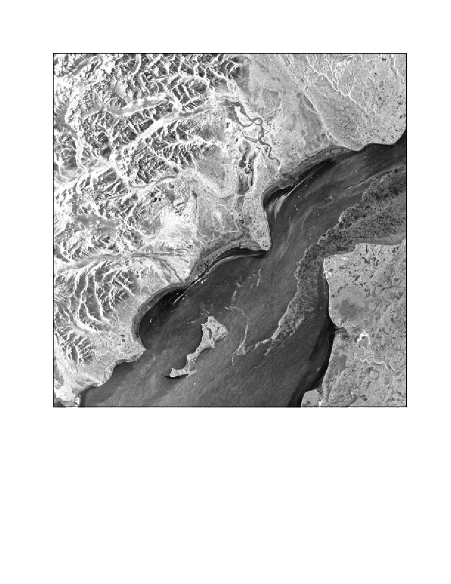
Figure 14. Radarsat-1 SAR imagery showing the Forelands area of Cook Inlet at near low tide on De-
cember 30, 1998. The region appearing stippled along the East Foreland is 6 to 10 tenths young and
first-year thin sea ice. Tidal flats are visible along the northern shores with streaks of 5 to 7 tenths new
ice forming just offshore in Trading Bay and Redoubt Bay. The bright white specks in three distinct
rows that appear in the water north of the Forelands are oil production platforms. [Image copyright by
Canadian Space Agency (1998); used by permission.]
23


 Previous Page
