practical year-round access to the area is by air
with relatively little precipitation and summers
transport. River boats or barges may be used
that are considered relatively warm for Alaska.
when the river is ice-free.
Winter temperatures fall well below zero, at times
reaching 60F for periods of weeks. There are
Galena is located on the flood plain in a broad
basin more than 30 miles wide bordered by hills
usually several thaw periods of one to two days
each per winter. Temperatures rise to 80F for
and mountains up to 2000 ft high. The basin is
crossed by the Yukon River, whose elevation is
approximately two weeks during the summer.
approximately 100 ft (mean sea level) at low
The mean annual temperature is approximately
25F. The design and average air freezing indexes
water at Galena, and by the Yukon's large north
(FI) are 6000 and 5500 F-days, respectively.
tributary, the Koyukuk River. Both rivers are bor-
dered by a flood plain that is up to 10 miles wide
and covered by many elongated channel lakes,
BACKGROUND
sloughs, and swamps. The rest of the basin
between the flood plain and the bordering bed-
Engineers at the Air Force's 5099th Civil Engi-
rock consists of alluvial terraces.
neering Operations Squadron were tasked to pro-
Galena is within the discontinuous permafrost
vide a new structure for the weather station at
zone although there is no known permafrost on
Galena. It was decided that the most logical place
the base. The water table varies with the elevation
would be at the airport, adjacent to the aircraft
of the Yukon River, but generally is 810 ft below
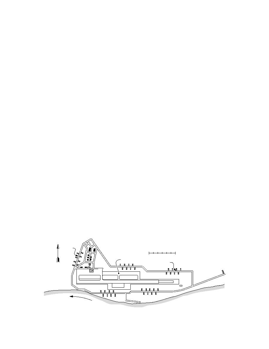
control tower (Fig. 2). Because of budget con-
the ground surface. There have been times during
straints and the remoteness of the site, the build-
spring breakup when the elevation of the river
ing had to be designed such that it required ship-
actually has become higher than that of the air-
ping the minimal amount of material and equip-
port. However, the water table at the base seems
ment. For example, cement had to be airlifted to
to rise no more than 24 ft below the surface. Fig-
the site in 94-lb bags; the concrete was then made
ure 2 shows how the base is surrounded by a sys-
on site using a small motorized mixer. By mini-
tem of levees.
mizing the amount of concrete needed for the
The soils at the site are generally river deposits
project, the shipping, labor, and construction
of sands and gravels. A typical profile obtained
costs, as well as the time required to make the
from soil borings in the immediate area is shown
concrete, were reduced.
below:
The designers were particularly concerned
0.02.5 ft Sandy gravel;
about the foundation's stability. Because the
2.57.0 ft Gravelly sand, 24% fines;
addition was to be attached to the control tower,
7.09.0 ft Silt;
there could be no differential movement between
9.022.0 ft Silty gravelly sand, 315% fines;
the two. This would have required a conventional
22.047.5 ft Sand.
foundation depth of 12 ft (estimated frost depth
The weather at Galena is typical of the shel-
in the area), similar to the control tower. At the
tered continental interior of Alaska. This type of
same time it would have required large machin-
climate is characterized by quite cold winters
ery to dig the excavation, additional material to
shore up the sides of the excavation, and large
quantities of concrete for the footings, none of
Dike
0
2000 ft
N
Airport Control Tower
Dike
Hanger
d
Roa
Asphalt Runway (7500 ft 350 ft)
Yu
er
ko
Riv
n
Figure 2. Galena Airport, general vicinity plan.
2


 Previous Page
