EAGLE RIVER FLATS FY 00
52
each hole was divided into two samples ac-
face water from the blasted Bread Truck ditch,
cording to depth (0 to 10 cm and 10 to 20 cm).
so a tide gate at Bread Truck would enhance
White phosphorus concentrations in the two
the drying of Northern C.
deep samples were 0.0027 and 0.0039 g/g.
Bread Truck Pond
Considering all of the above, pumping has
been very successful at decontaminating Pond
The former Bread Truck Pond (Pond 109)
183 and Pond 146.
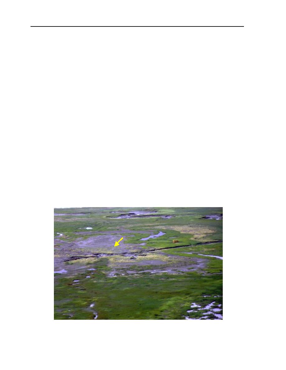
(Fig. III-2-2, III-2-3, III-2-11) is no longer a per-
manent pond because of the drainage ditch
Pond 155 (Northern C)
blasted in April 1996 connecting an existing
Pond 155 (Fig. III-2-1, III-2-3) was drained
tidal gully with the pond (Collins et al. 1997).
by pumping for the third consecutive year.
Since its excavation the ditch has continued
The sediments of this pond tend to remain wet
to enlarge each year as headward erosion ex-
following drainage of the surface water.
tends the ditch southward and eastward into
Planted particles at this site (Table III-2-5)
the former pond area. In addition to the gully
decreased by 32% this year, which is an im-
advancement, the surface sediment within 20
provement over last year, when there was no
m of the ditch has eroded significantly (Fig.
change. However, the white phosphorus con-
III-2-11). Our monitoring station on the north
centration in the grid composite has not de-
side of the Bread Truck Pond (BT North 100
creased. Drying of this pond might be en-
m) is affected by this erosion.
hanced by further shallow ditching to the
The north side of the former pond drains
sump and maintaining the surface of the wa-
readily through to the drainage ditch but is
ter in the sump at a lower level. Further char-
also more frequently flooded because of the
acterization could include a piezometer well
lower flooding threshold of the ditch. The BT
to monitor the groundwater elevation and
North 100 monitoring station recorded 20
subsurface samples to determine the depth of
flood events between 1 June and 5 August
contamination. This pond also receives sur-
2000 (Fig. III-2-12), while the C 100 m moni-
BT North
100 m
datalogger
Figure III-2-11. Advancing Break Truck gully. The gully has eroded through the
north side of the pond into the south side.


 Previous Page
