EAGLE RIVER FLATS FY 00
40
numerous waterfowl carcasses and several
pling located a small area of contamination
positive sediment samples were collected sev-
remaining just off Canoe Point (Fig. III-2-4).
eral years ago. This is the third year that this
In 1999 we established two grids extend-
pond has been pumped. Because this pond
ing through and beyond the dredged area
was relatively small, the sump hole covered
where the post-dredging sampling showed
a significant portion of what was open water
contamination (Fig. III-2-4). Composite
habitat. In August 1998 we collected compos-
samples from both grids showed contamina-
ite samples made up of 48 subsamples from
tion, one of which (Sample 146-2) was over 7
g/g. In 2000 we established two more grids,
two grids covering the remainder of what will
be open water habitat when the pond is not
one to the north and the other to the south of
pumped. Only one of the composite samples
the 1999 grids, and we also resampled the es-
was positive. We resampled the positive grid
tablished grids. Each composite sample was
in June and September 1999 and in August
made up of 48 subsamples.
2000.
Pond 258 and 256 (Northern A)
Pond 146 (Area C)
Ponds 258 and 256 are located on the west
Pond 146 is a permanent pond (Fig. III-2-1,
side of ERF in Area A (Fig. III-2-1). Pond 258
III-2-4) located adjacent to the EOD pad, Ca-
is a large pond of 1.72 ha (3.44 acres) (Fig. III-
noe Point, and Clunie Inlet on the east side of
2-5) where over 50 discrete samples were col-
ERF. The pond is 5.5 ha, of which 0.45 ha was
lected between 1991 and 1994. Sampling was
dredged in 1996-1997. Post-dredging sam-
prompted by the large number of waterfowl
1
3
2
4
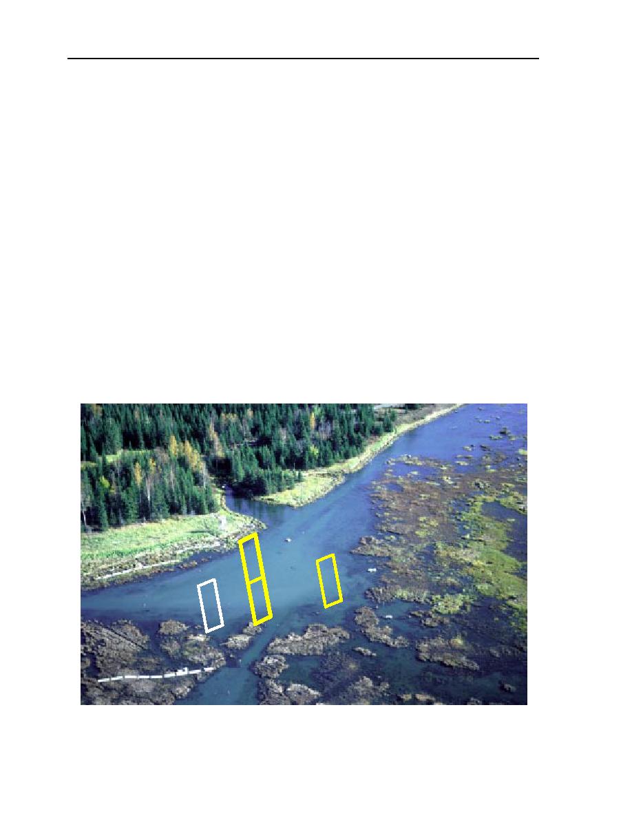
Figure III-2-4. Approximate locations of grid composite samples collected from Pond 146. The
photograph was taken in 1996.


 Previous Page
