High Spatial Resolution Digital Imagery
65
properties very similar to several of the marsh vegetation associations of interest.
Attempts to assign unique signatures to the croplands, particularly in the larger
southern mosaic, proved unsuccessful. Attempts to mask (i.e., turn off) the agri-
cultural pixels resulted in the loss of a significant number of marsh vegetation
pixels. Therefore, the Refuge boundary, plus a 500-m buffer zone, was used to
subset (or clip) the full southern mosaic (Fig. 38). This step removed the majority
of the agricultural lands. The northern mosaic was not clipped, with the entire set
of six flightlines classified into vegetation classes including five agricultural
classes.
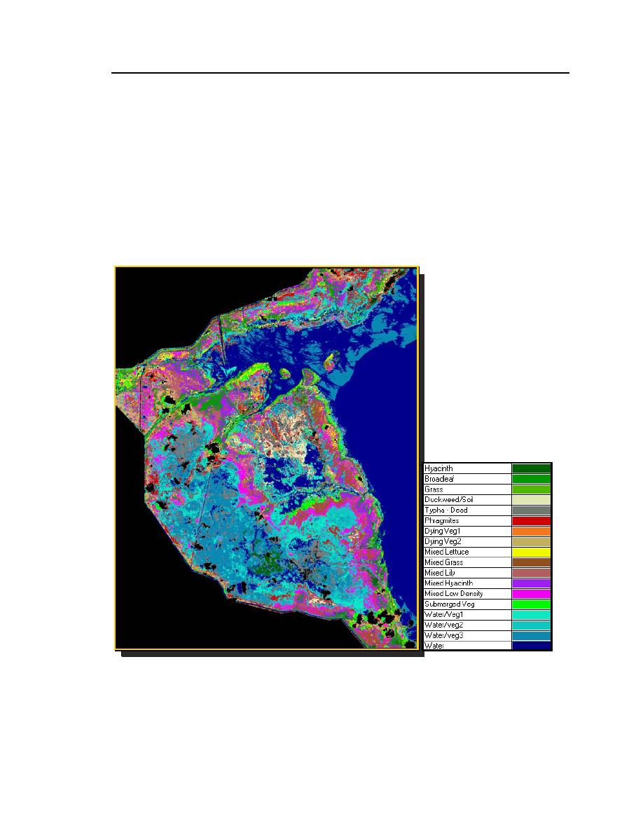
Figure 37. Unsupervised classification results of IKONOS image after application of the
nine-pixel minimum mapping unit filter.


 Previous Page
