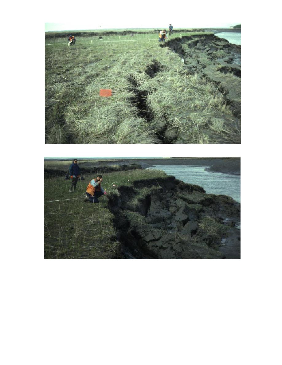
a. North view showing extension crack in foreground.
b. Rotational slump blocks visible to right of scarp.
Figure 24. Measurements of bank erosion along Eagle River at the River-North site.
early stage of collapse (Fig. 24). This extension
water and growth of needle ice, as well as ice
was particularly evident in May of 1995 follow-
shove, probably reduced the cohesiveness of the
ing the first tidal flooding cycle (1517 May 1995)
bank sediments and increased their susceptibility
after thawing of the ground began. A shallow
to erosion during the May flood and ebb cycles.
snow cover in the winter allowed frost to pen-
The spatial variability in recessional rates is
etrate deeply. Intermittent flooding and subse-
evident in the plots showing the sequential reces-
quent pond drainage are favorable to ice growth
sion of scarp crest location through time (Fig. 23).
(Fig. 25). The subsequent freezing of interstitial
One of the first gullies monitored at ERF was
34


 Previous Page
