1992
1993
1994
1995
= Measurement Taken
M
J
J
A
S
M
J
J
A
S
M
J
J
A
S
O
N
M
J
J
A
S
O
N
M
Sedimentation:
udflat Transect 1-11
1
2
P
4.24
ond Station 1-9
1
P
1-18
ond Transects
E
Bosion:
r
P
-Gully
I arachute
Bn-Between
read Truck
C
oastal 1
M
C
ortar
Coastal 5
Coastal 6
oTstal 7
a
I
anker
Rume Pond
ll
R
iver-North
iver- Meander
R
R iver South
Hacine Island
ydrostation*
T
CSS*
M
TD:
Ortar Gully
o
Ker Gully
tt
C
nik Arm
oastal 6 Gully
O
I
tter Creek
n-Between Gully
S
W
now Depth*:
eather Station, Parachute
G
ully, Bread TruVk Gully
c
S
elocity:
G pring Gully, Parachute
ully, Bread Truck Gully
W
ave W d Tide Gauge
an
eather Station
*See Figure 18
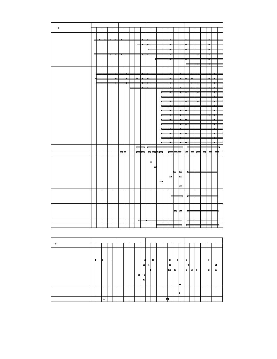
a. Continuous data.
1992
1993
1994
1995
= Measurement Taken
M
J
J
A
S
M
J
J
A
S
M
J
J
A
S
O
N
M
J
J
A
S
O
D
White Phosphorus
S
S ample Type:
S diment Grab
e
Pdiment Trap
e
lankton Net
W
B
ater
edload Trap
I
ce
TSS:
I
ce
Grain Size
b. Discontinuous data.
Figure 21. Sampling coverages for various types of field data.
27


 Previous Page
