June and August represent intermediate naviga-
Transit directionality
tion conditions. We simulated the intermediate and
The model can simulate shipping in either an
extreme conditions, as requested by USAED, to
easterly or westerly direction. East-bearing voy-
enable their projection of U.S. port throughput
ages (except for April transits) make use of data
based on 60-day, 120-day, and year-round NSR
files having course probabilities associated with
shipping.
each decision node. At these nodes, the model
makes a weighted selection to decide on which leg
to continue forward. These data were also obtained
Ships selected for simulation
We simulated three different ice-strengthened
from RSMOT (in prep.). We did not have similar
ship types: a Noril'sk-class multipurpose cargo ship,
data for the month of April and, therefore, course
a Lunni-class tanker, and a Strekalovsky-class dry
selections were made on an equal probability bases.
bulk freighter. These are the most ice-capable ships
For example, we have assigned an equal likeli-
that currently use the route for moving liquid and
hood of selecting either the 56, 56A, or 56B leg
dry bulk and specialized cargoes. For that reason,
in April, whereas for August, the historical data
we assumed that they adequately represent what
shows 50% probabilities for the 56A and 56B
is most efficient, available, and therefore neces-
legs and zero probability for the 56 leg. West-
sary for NSR passage. Icebreaking support in our
bearing voyages for all months use equal prob-
model is provided by a Russian Arktika-class
ability for all course choices because we had no
nuclear icebreaker whenever the ice conditions
historical data to do otherwise.
warrant escort. These icebreakers are currently the
most powerful in the world and are used exten-
Months selected for simulation
sively for the most challenging sections of the route.
We have constructed the model and assembled
the necessary companion data files to allow tran-
These ship types are further described below.
sit simulations for April, June, August, or October
The Noril'sk-class multipurpose cargo ship, also
voyages. April represents the worst-case scenario
known as the SA-15, is the newest and most ca-
when the weather, ice conditions, and visibility
pable cargo vessel in use on the NSR today (Fig.
are most difficult to overcome. August transits
6). It is a multipurpose icebreaking vessel of 19,950
simulate the best case, that is, the easiest condi-
dwt and is designed to carry up to 15,650 t of a
tions through which to navigate. The months of
variety of cargoes including containers, trailers,
Murmansk
1
3B
7
6
2A
5
2
1
0
18
9
3
8
19
20
4
3A
17
6B
14
10
2
41
27
15
40
16
12
28
3
39
11
29
4
21
7
32
6A
31
30
13
S
NSRSIM
chematic Route Map
36
(all routes)
22
35
23
D
25
37
34
Data Nodes
24
33
F2
6
ecision Nodes
38
26
F3
5
F1
F4
8
Bering Sea
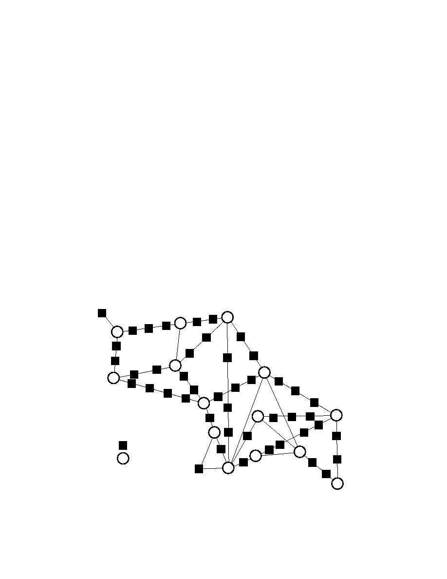
Figure 5. Detail of route meshing scheme showing all possible routes.
12


 Previous Page
