EM 1110-2-2907
1 October 2003
mine the percentage of fallow field area versus productive field area in an agri-
cultural scene.
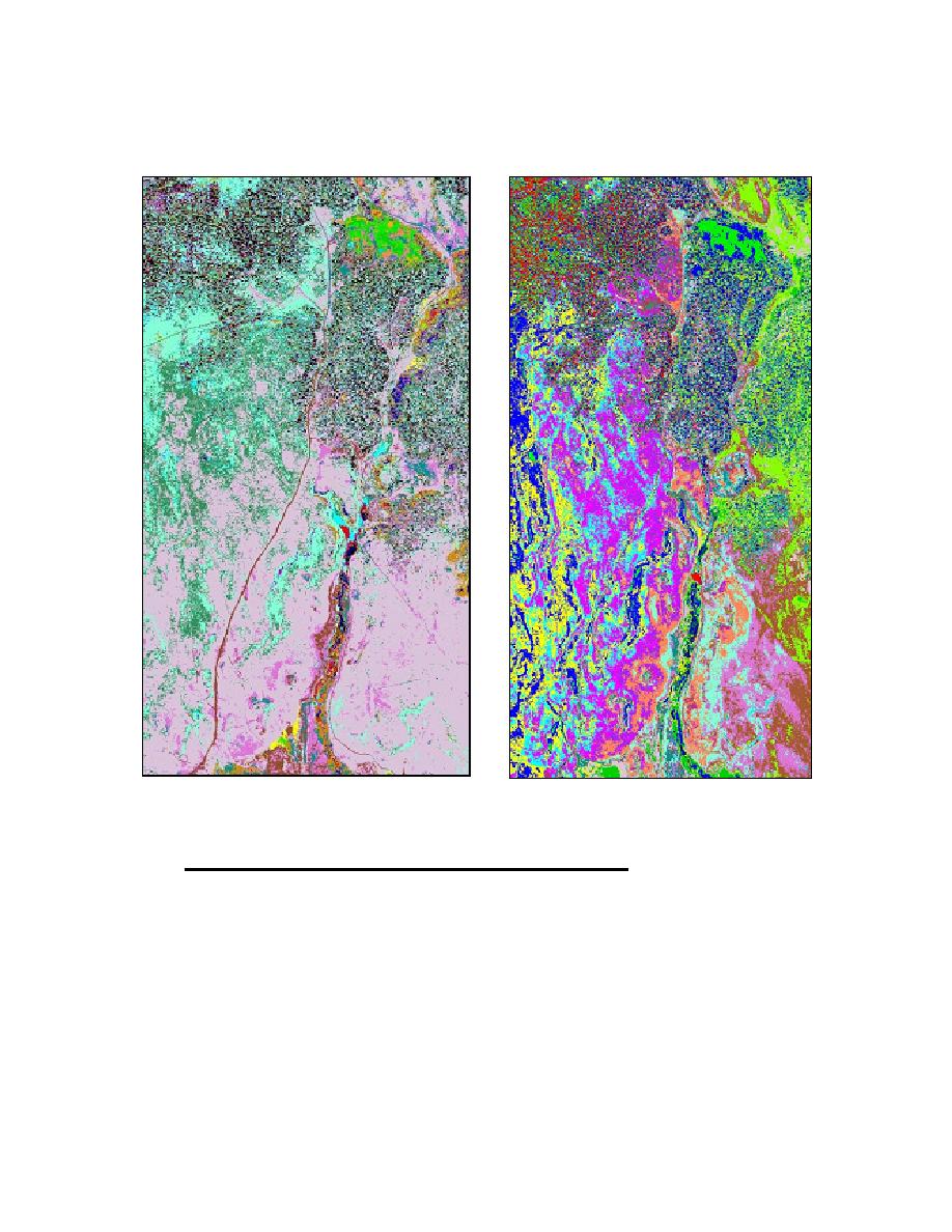
Figure 5-20. Unsupervised and supervised classification of a clay-mine (upper center,
bright green pixels) imaged with HyMap hyperspectral data. Images courtesy of Dr.
Brigette Martini at the Earth Sciences Department, University of California, Santa Cruz, CA.
Go to http://www.es.ucsc.edu/~hyperwww/chevron/whatisrs5.html for details on the image.
e. Image Mosaics, Image subsets, and Multiple Image Analysis.
(1) Image Mosaics. It is not uncommon for a study area to include areas
beyond the range of an individual scene. In such a case, it will be necessary to
collect adjacent scenes and mosaic or piece them together (Figures 5-215-23). It
is preferable to choose scenes with data collected during the same season or gen-
eral time frame and under similar weather conditions. Images can only be prop-
erly pieced together if their data are registered in the same projection and datum.
It will be important to assess the registration of all images before attaching the
scenes together. If any of the images are misregistered, this will lead to gaps in
the image or it will create pixel overlay.
5-36


 Previous Page
