EM 1110-2-2907
1 October 2003
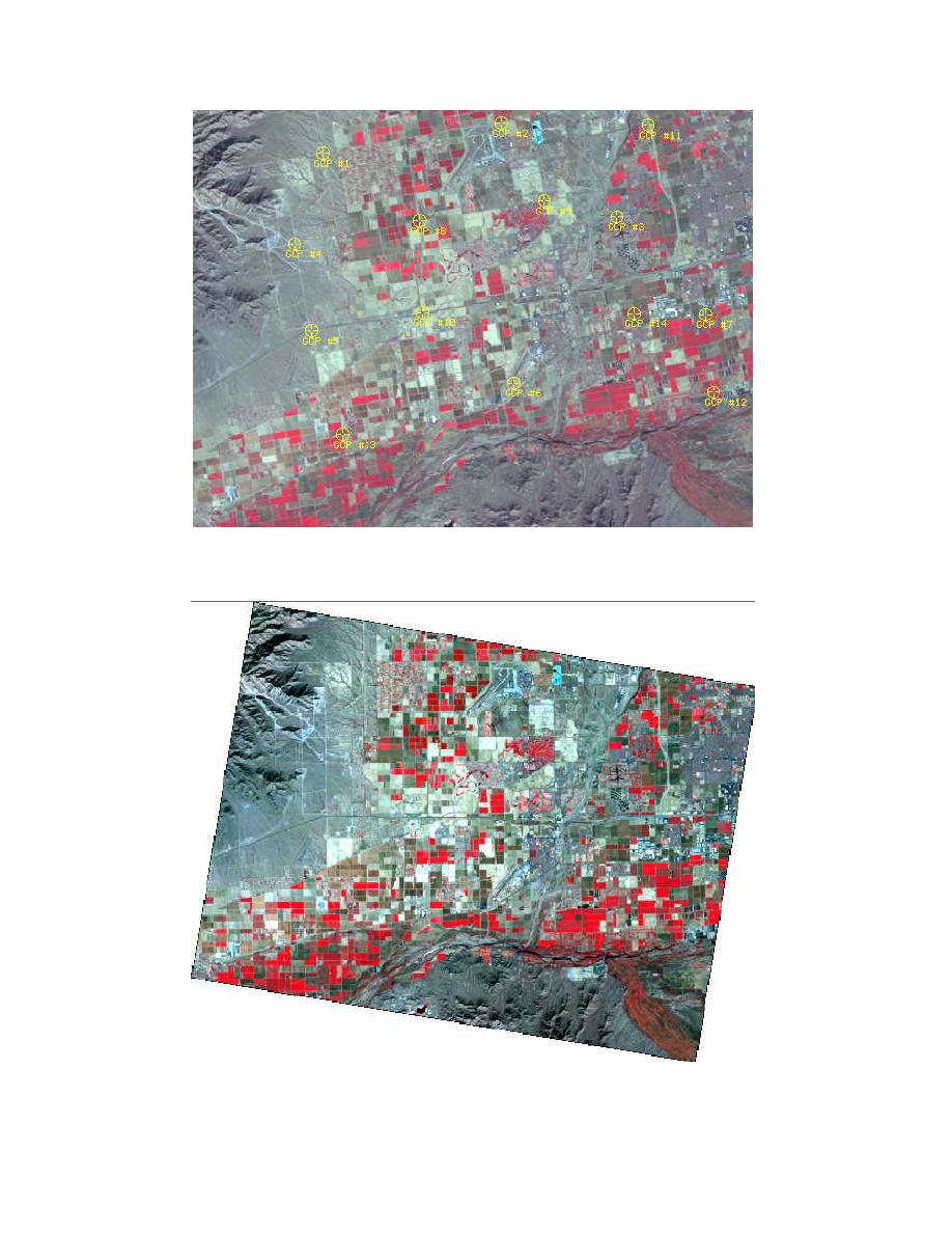
d. GCPs are located by matching image features between the projected and
unprojected image. Notice the balanced spatial distribution of the GCPs;
this type of distribution lowers the projection error.
e. Unprojected data are then warped to the GCP positions. This results in
a skewed image. The image is now projected onto a coordinate system
and is now ready for GIS processing.
5-10


 Previous Page
