EM 1110-2-2907
1 October 2003
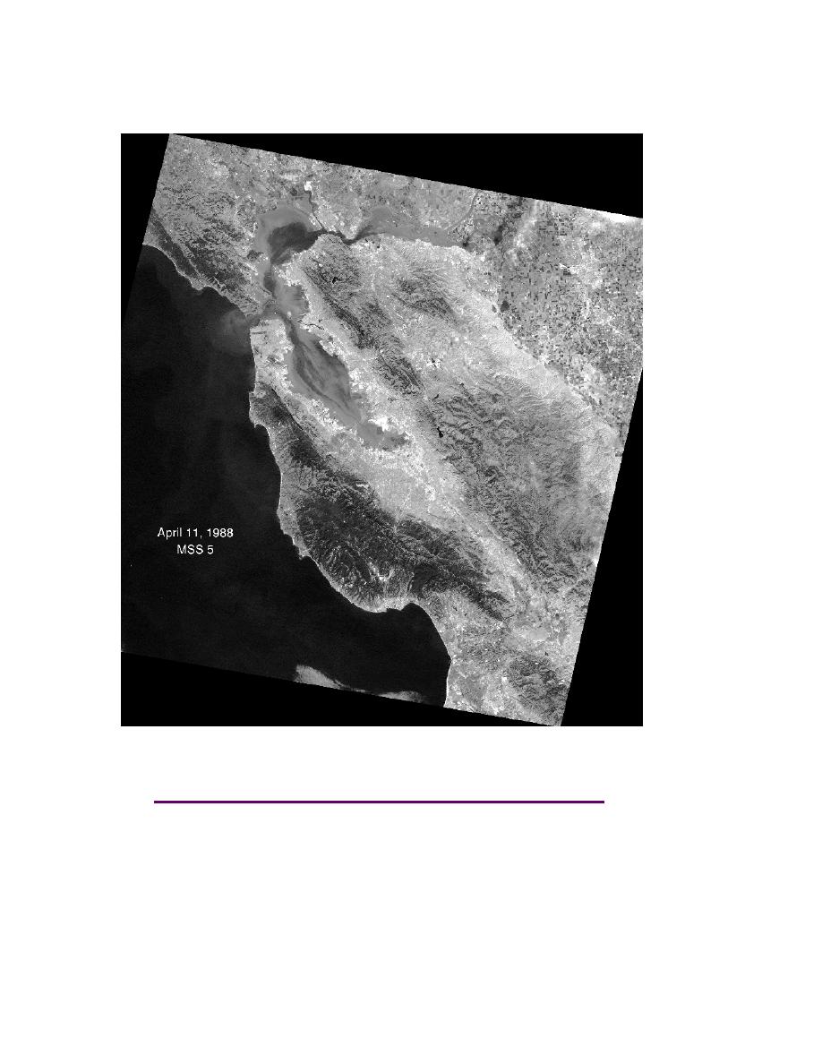
Figure 2-30. Landsat MSS band 5 data of San Francisco, California. The black
pixels represent water; the various levels of gray to bright pixels represent dif-
ferent vegetation and ground cover types across the landscape. Image taken
h. Converting Digital Numbers to Radiance. Conversion of a digital number to its cor-
responding radiance is necessary when comparing images from different satellite sensors
or from different times. Each satellite sensor has its own calibration parameter, which is
based on the use of a linear equation that relates the minimum and maximum radiation
brightness. Each spectrum band (see Paragraph 2-7i) also has its own radiation minimum
and maximum.
2-34


 Previous Page
