62
ERDC/CRREL TR-02-14
December 21. These freeze-up dates are later than normal, which is early
December. At all the sites the ice cover formed primarily through accumulation
of drifting frazil slush and pans and skim ice. An important part of freeze-up was
the formation of border or bankfast ice along riverbanks. Bankfast ice congested
the flow surface available for ice passage, especially in the wider subreaches
where the river flowed through two or more subchannels, such as at the Culbert-
son site. At some locations (e.g., the Culbertson site and the upstream end of the
Pipal site), ice did not completely cover the channel. At those locations, drifting
ice bridged across the upstream end of a subchannel, leaving patches of open
water. Under continued cold weather conditions, some of the patches eventually
froze over. However, some areas with higher velocities remained open during the
entire winter.
The ice cover broke up along the Fort Peck reach during late March. It had
broken up about one month earlier at some upstream sites; for example, at the
Pipal site the ice cover broke up in mid-February during a brief period when the
air temperatures were close to 30oF and the warm water released from the dam
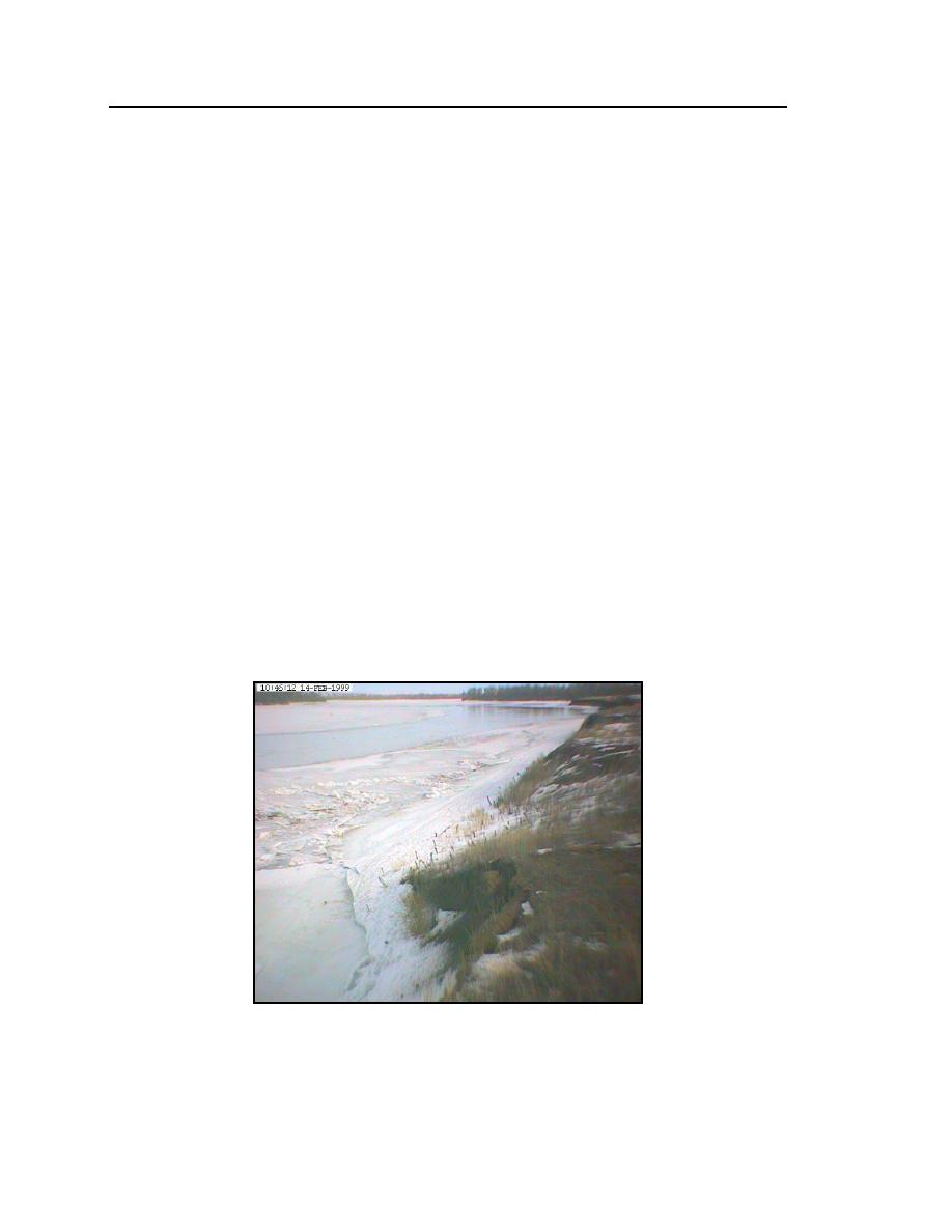
progressed downstream, melting the ice cover. The ice conditions at 1400 on
February 14 in the downstream reach of the Pipal site are shown in Figure 42.
The warm water followed the thalweg, melting out the ice in the channel area. As
channel area opened up, ice would break off the shoreline and migrate down-
stream. Similar breakup occurred at the other sites. Figure 43 is from the Cul-
bertson camera at 0900 on March 17.
Figure 42. Early stage of breakup in the downstream
reach of the Pipal site on 14 February 1999.


 Previous Page
