RIVER ICE INFLUENCES ON FORT PECK REACH, MISSOURI RIVER
49
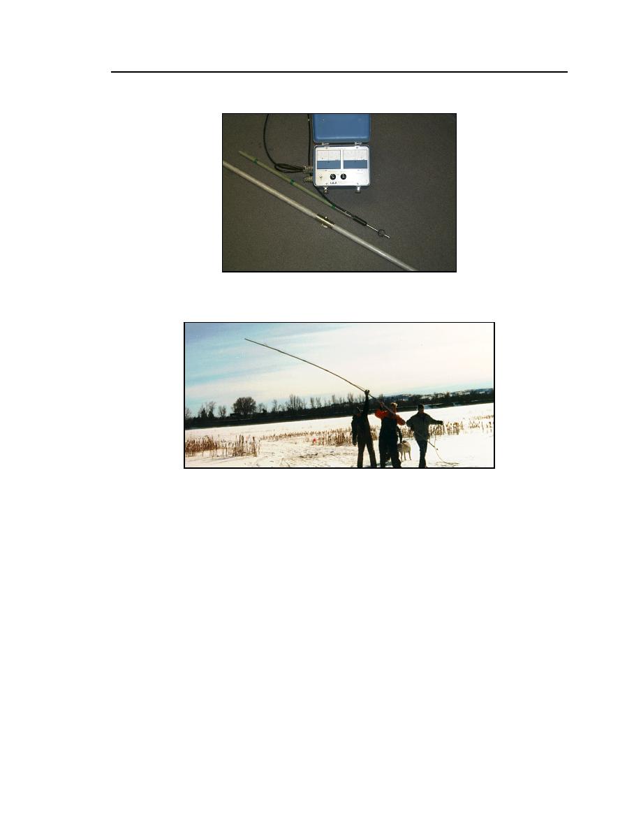
Figure 30. Marsh-McBirney velocity meter with extension pole.
Figure 31. Velocity profiling.
Water depths were obtained in conjunction with water velocity measure-
ments, providing the depth was less than the rod length and the velocity made it
possible to maintain a nearly vertical rod. For deeper water a sonar system with a
10o radar cone angle was used to measure the depth (Model LFP-300 by Elec-
tronic Mfg., Tulsa Oklahoma). To document the accuracy for the sonar system,
water depths were verified using a rod when possible. The agreement was very
good in clear, relatively calm water but not in areas with high concentrations of
sediment or frazil. The discrepancy may be attributed to the coarseness in the
scale indicated on the sonar's display screen, the integration of flow depth over
the radar cone area, interference from particulates in the water column, or a
combination of these factors. In some instances the sonar head was attached to an
extension rod and pushed through frazil ice accumulated immediately under the
ice cover. In channel areas where the water depth or velocity changed abruptly,
supplemental cross-section stations were established to provide more detail.


 Previous Page
