RIVER ICE INFLUENCES ON FORT PECK REACH, MISSOURI RIVER
47
trace for latter verification using ground-truth measurements. The ice cover
generally ranged from 8 to 25 in. thick. Adjacent to the bridge piers at the Cul-
bertson site the ice was up to 40 in. thick.
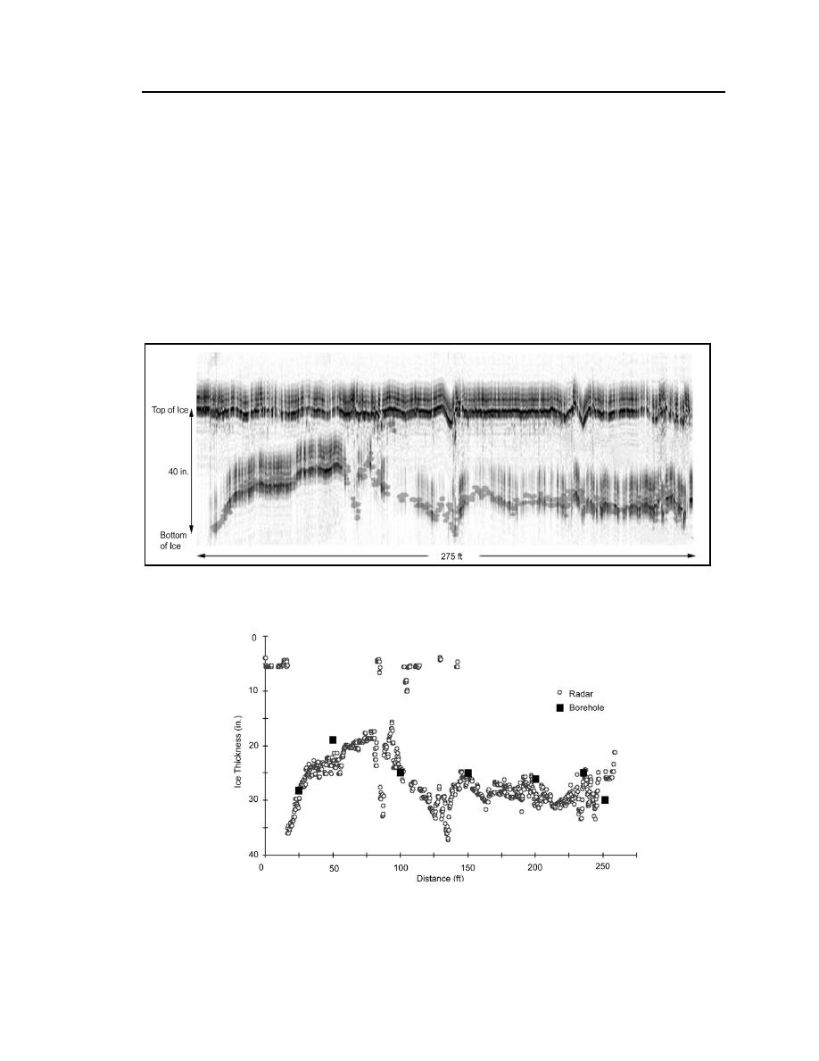
Figure 28 shows a typical radar profile for the 275-ft-wide section of the
river between the two piers of the northern bridge span. It also shows the largest
variation in ice thickness within a short distance. The top band represents radar
reflections from the airice interface (the top of the ice sheet). The lower band
represents the radar reflection from the icewater interface (the bottom of ice
sheet). Figure 29 is the result of processing the middle 250 ft of the radar data
Figure 28. Typical radar profile of ice cover thickness.
Figure 29. Processed radar profile of ice cover thickness.


 Previous Page
