Surface Climate and SnowWeather Relationships of the Kuparuk Basin
3
Most studies of Arctic Slope climate have relied almost exclusively on the
coastal and coastal plain records (e.g., Searby and Hunter 1971, Wiseman and
Short 1976) or have concentrated on specific locations (Clebsch and Shanks
1968, Brown et al. 1975, Haugen et al. 1976, Thoman 1995, Wendler 1978).
Researchers have also used analyses of synoptic upper air data to derive synoptic
climatologies of the Arctic Slope (e.g., Moritz 1979, Milkovich 1991) and mean
cyclone tracks in the Alaskan Arctic (Serreze et al. 1993).
Some studies have attempted to gain a better understanding of the more
inland reaches of the coastal plain and adjacent uplands, but this work has been
limited to the warm season. Walsh (1977) used aircraft data to gain a more inte-
grated view of the lower summer troposphere along the northern coast of Alaska.
Haugen and Brown (1980) used a regression technique on data from stations on
the inland tundra as well as the coastal locations to estimate mean temperatures
across the coastal plain as a function of longitude as well as latitude.
In this report we summarize five years of continuous surface meteorological
data taken along a transect from near Prudhoe Bay on the Arctic Coast to the
foothills of the Brooks Range (Kane and Hinzman 2000) that includes stations in
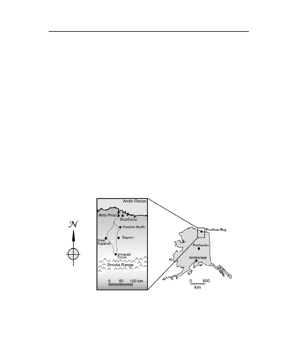
the inland reaches of the Arctic Slope (Fig. 1). The climate data from the mete-
orological sites are augmented by snowpack surveys conducted several times
each winter during the study period. To our knowledge this study represents the
only surface climatic analysis that has been conducted of this region since
Figure 1. Locations of the five surface meteorological sites located in the
Kuparuk Basin used in this study: Betty Pingo (BET), Franklin Bluffs (FRA),
Sagwon (SAG), West Kuparuk (WKU), and Imnavait Creek (IMN).


 Previous Page
