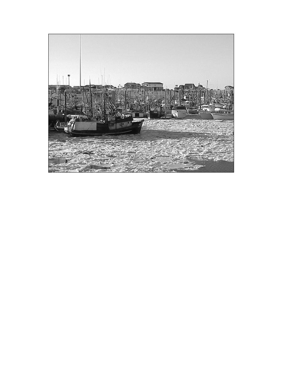
Figure 6. Brash ice clogging Homer's small boat harbor to an unusual extent. (Photo
by Orson Smith.)
rates Kodiak and Afognak Islands from the Alaska Pen-
finger fiords and small bays. Homer Spit, jutting south-
insula. The eastern shoreline north of Homer and the
eastward into the bay from the town of Homer, is
western shoreline north of Harriet Point border on low-
founded on a glacial deposit nearly 8 km long and
land outwash plains, with mountains that are distant
less than a half kilometer wide, creating a natural
from the coast. As such, there is little undulation and
breakwater and excellent anchorage for the large com-
few sheltering coves along these shorelines, with the
mercial fishing fleet based there. Homer, also a center
exception of Redoubt Bay, between West Foreland and
for tourism, has a population of about 4,800. Marine
Harriet Point. However, south of those points, the
facilities there include a deep-water dock that can ac-
shorelines are more mountainous and indented with
commodate two 340-ft-long vessels with 30-ft or less
numerous bays, inlets, and coves. Other major bays
draft, a 740-vessel-capacity small-boat harbor (Fig.
of the Lower Inlet include Kachemak, Kamishak,
6), an Alaska Marine Highway System terminal, a U.S.
Tuxedni, Chinitna, and Iniskin Bays, and Ursus Cove.
Coast Guard station, and storage and shipment facili-
With the exception of Kachemak Bay, all are located
ties for fish, petroleum products, and general cargo.
along the western shoreline.
On the western side of Cook Inlet is Kamishak Bay.
The largest two bays, Kachemak and Kamishak,
It is approximately 33 km long from its 43-km-wide
are located on opposite shores at the southern end of
entrance between Douglas Reef and Tignagvik Point.
Lower Cook Inlet. Kachemak Bay is 35 km wide at
There are several large islands situated within the
its mouth between Seldovia Point and Anchor Point.
Lower Inlet. These include Augustine Island, in
It reaches about 40 km inland, tapering gradually to 4
Kamishak Bay, and Chisik Island, at the mouth of the
km wide where it ends at the mouth of the Fox River.
Tuxedni Bay. Kalgin Island, about 30 km south of the
Its northern shoreline, the southern terminus of the
Forelands, plays an important role in the permanent
Kenai Lowland, is regular and non-undulating. Its
and tidal currents that dominate the hydrodynamic
southern shoreline, however, abuts the spine of the
regime of the Inlet. The Barren Islands and Chugach
Kenai Mountains and is punctuated with many long
Islands are located at the Inlet's mouth.
8


 Previous Page
