of Fairbanks (USCB 1999). The port has one
Foreland). The major rivers that enter the Upper Inlet
deep-draft wharf with berthing space for three ves-
are the Susitna and Little Susitna, the Beluga, and the
sels, a petroleum terminal dock, several dock-
McArthur, all of which drain out of the Alaska and
ing wharves for barges, and a small-boat marina
Talkeetna mountain ranges and discharge into Cook
(Fig. 3).
Inlet from the north.
Turnagain Arm extends approximately 75 km east-
Several shoals are present in this region, including
ward from a line between Point Campbell and Point
Middle Ground Shoal, just north of the Forelands, ly-
Possession to the railroad depot at Portage and varies
ing parallel to and just north of the Inlet's midline,
from 2 to 26 km in width. It, too, exhibits extensive
and Beluga Shoal at midline and due south of the
tidal mud flats during low water. Fire Island is located
Susitna River's mouth. Fire Island Shoal, which lies
at the dividing point of Knik and Turnagain Arms, 5
due west of Fire Island; North Point Shoal; and Knik
km west of Point Campbell.
Arm Shoal all challenge navigation into and out of
Knik Arm and the Port of Anchorage.
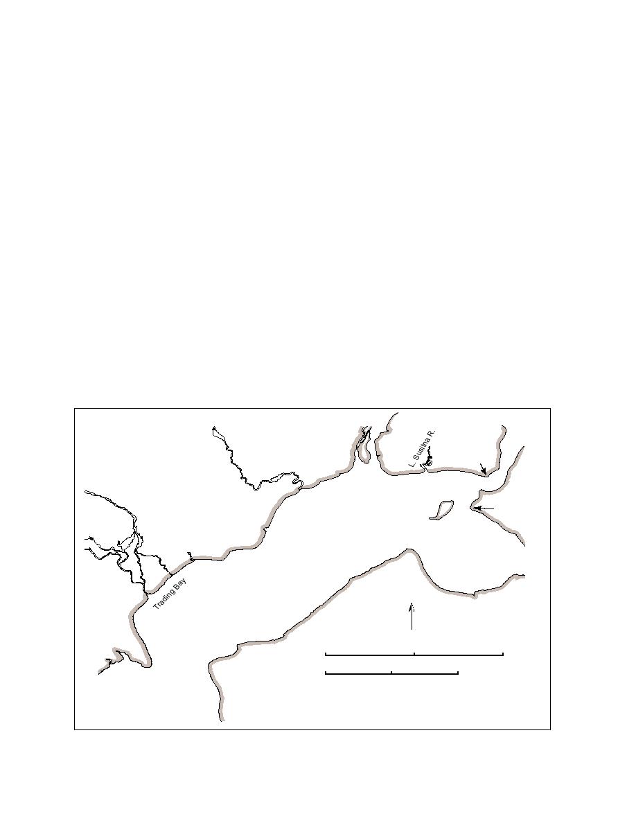
2.3 Upper Cook Inlet
Upper Cook Inlet, approximately 95 km long, lies
2.4 Lower Cook Inlet
between Point Campbell and the East and West
The largest region, Lower Cook Inlet (Fig. 5), ex-
Forelands (Fig. 4). The Forelands are opposing pen-
tends 200 km southwest beyond the Forelands to its
insulas that constrict the Inlet to about 16 km in width,
mouth, which opens into the Gulf of Alaska. The mouth
whereas the Upper Inlet typically ranges from 20 to
is located between Cape Douglas on the Alaska Pen-
30 km wide. The shoreline is very regular, with few
insula and Cape Elizabeth on the Kenai Peninsula side.
coves and inlets. This section's largest bay, Trading
There are three entrances from the Gulf of Alaska into
Bay, occupies the area between West Foreland and
Cook Inlet. These are, from east to west, Kennedy En-
Granite Point. Smaller bays include Beshta Bay (north
trance and Stevenson Entrance, which are separated
of Granite Point) and Nikiski Bay (north of East
by the Barren Islands, and Shelikof Strait, which sepa-
Susitna R.
Pt.
MacKenzie
Beluga R.
Pt. Woronzof
Pt. Campbell
Fire ls.
McArthur R.
Granite
Pt. Possession
N. Foreland
Pt.
Beshta
Bay
Moose Pt.
N
Nikiski
0
25
50 km
Bay
Boulder Pt.
0
10
20 n.mi.
E. Foreland
W. Foreland
Figure 4. Place names of Upper Cook Inlet.
6


 Previous Page
