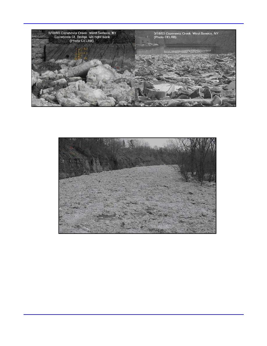
Figure 6. Cazenovia Creek at West Seneca, New York, is no stranger to ice jam flooding. Events such as the one
pictured above, which occurred on 16 March 2003, have caused up to 5K in damages in the past. (Left) Right
bank of the Cazenovia Street Bridge. (Right) Looking downstream towards Cazenovia Street Bridge. Photos
courtesy of Larry Sherman, CELRB.
Figure 7. Looking upstream at the Cazenovia Creek ice jam at West Seneca, New York,
from Leydecker Road, on 17 March 2003. Photo courtesy of Keith Koralewski, CELRB.
The St. John River had six ice events, five of them breakup jams occurring in April. The most significant ice jam was
located between the towns of Allagash and Dickey. This jam extended well back through the northern Maine woods,
extending approximately four miles and covering the width of the St. John River. The jam was locked in place as a result of
cold temperatures. At 1100 on 5 April, the gage reading at Dickey was 20.78 feet compared to a flood stage of 25 feet. Open
water with ice breaking up was noted just south of the jam through the town of Allagash straight into Fort Kent (NWS 2003h)
(Fig. 8).
On the Aroostook River, seven events were reported for water year 2003. The most notable jams were located between
Caribou and Fort Fairfield, and from Presque Isle and Washburn (NWS 2003i). Of the seven, four were reported in December
and three in April. On 17 December 2002, a freezeup jam was located in the bend of the Aroostook River about two miles
north of the bridge in Fort Fairfield, Maine. The freezeup jam (located on the Aroostook River, downstream of the village of
6
ERDC/CRREL TN-04-5


 Previous Page
