4656'
N
Wanapum
Sad
dle
Dam
M
tns.
Fork
Squaw
Cr.
h
rt
No
Han
son
Cr.
Bu
rb
an
Squ
k
aw
Cr.
Cr
.
Alkali Cr.
Corral Cr.
Um
Site E
tan
um
Rid
ge
Sel
ah
C
r.
Yak
Site C
ima
Ridge
Cold
Cr.
Location Map
WASHINGTON
Seattle
Spokane
YTC
0
5 miles
Yakima
Walla Walla
4630'
12028'
11955'
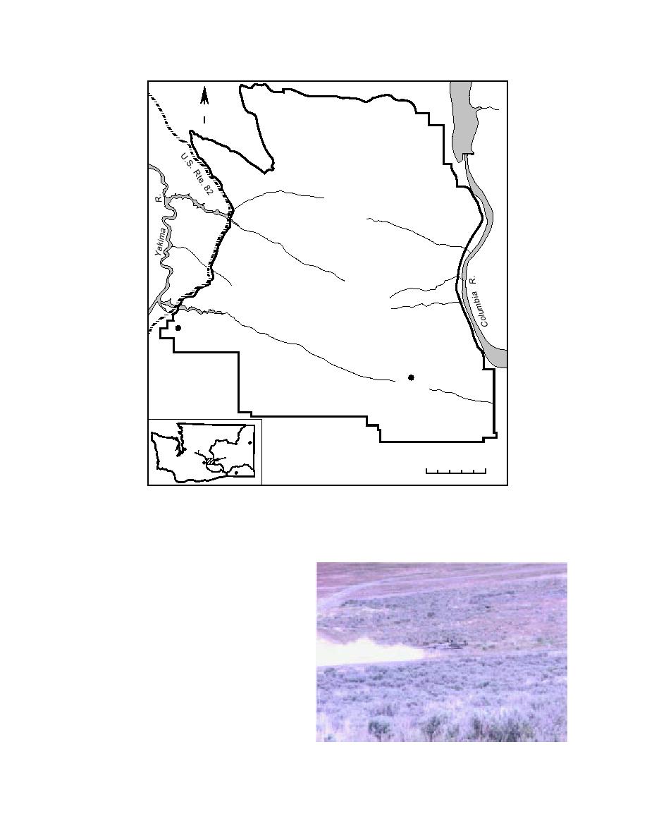
Figure 1. Research sites, Yakima Training Center.
The YTC encompasses an area over 130,000
ha in the Columbia basin of south-central Wash-
ington (Fig. 1). The region is part of the shrub-
steppe, the largest of the grassland regions in
North America (Rogers and Rickard 1988). Soils
are typically loess overlying basalt, and the cli-
mate is characterized as semiarid, temperate,
and continental with cold, wet winters and hot
dry summers (Rickard 1988, Jones and Bagley
1997).
Site E (Fig. 2), at about 450-m altitude, receives
about 20 cm of precipitation annually. The soils
and vegetation are typical for central Washing-
ton state: shrub-steppe consisting of deep silty
clay-loam soils (Drysel, Meloza-Roza; fine,
Figure 2. Site E.
montmorillonitic, mesic Xeric Camborthids) on
2


 Previous Page
